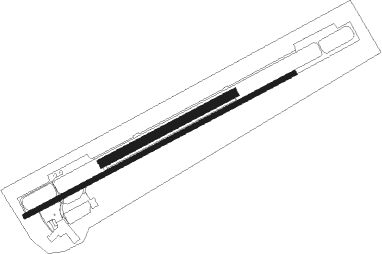
Mnichovo Hradiště - Mnichovo Hradiste
Airport details
| Country | Czechia |
| State | Central Bohemia |
| Region | LK |
| Airspace | Prague Ctr |
| Municipality | Mnichovo Hradiště |
| Elevation | 796ft (243m) |
| Timezone | GMT +1 |
| Coordinates | 50.53916, 15.00324 |
| Magnetic var | |
| Type | land |
| Available since | X-Plane v10.40 |
| ICAO code | LKMH |
| IATA code | n/a |
| FAA code | n/a |
Communication
| Mnichovo Hradiste Hradiste Radio | 120.400 |
| Mnichovo Hradiste Departure | 133.000 |
Nearby Points of Interest:
Capuchin monastery in Mnichovo Hradiště
-Statues of John of Nepomuk, Saint Florian and Saint Barbara in Mnichovo Hradiště
-Lovecký zámeček Bažantnice Loukov
-Lovecký zámeček Maníkovice
-Church of Saint Lawrence
-Podvicmanovský mlýn
-Chapel of Saint Stapinus at Klokočka
-Holy Trinity column in Bakov nad Jizerou
-Rectory in Přepeře
-Trávníček če. 14
-Church of Saint Leonard
-Piaristická kolej
-Bohemian Paradise
-Town hall in Turnov
-Franciscan monastery in Turnov
-Hrdlořezy
-Statue of Faith with Saints John and Paul
-Valdštejnsko
-Villa Blaschka
-Městské opevnění (Český Dub)
-town hall in Český Dub
-Husův sbor
-Chapel of Holy Trinity in Český Dub
-Fara
-Old town hall in Sobotka
Nearby beacons
| code | identifier | dist | bearing | frequency |
|---|---|---|---|---|
| NER | NERATOVICE VOR/DME | 17.9 | 246° | 112.25 |
| OKX | FRYDLANT VOR/DME | 21.8 | 5° | 114.85 |
| KD | KBELY NDB | 27.1 | 223° | 300 |
| K | KBELY NDB | 29.7 | 227° | 438 |
| V | MASLOVICE (VODOCHODY) NDB | 30.7 | 243° | 416 |
| HDO | HERMSDORF VOR/DME | 33.5 | 302° | 108.65 |
| L | LIBOC (PRAGUE) NDB | 37.2 | 240° | 372 |
| F | CASLAV NDB | 37.4 | 149° | 715 |
| OKL | PRAGUE VOR/DME | 38.8 | 239° | 112.60 |
| C | CASLAV NDB | 39.9 | 147° | 715 |
| CF | CASLAV NDB | 41.5 | 146° | 345 |
| P | PARDUBICE NDB | 43.2 | 124° | 888 |
| PK | PARDUBICE NDB | 44.4 | 123° | 432 |
| VLM | VLASIM VOR/DME | 50.2 | 176° | 114.30 |
| PSK | DME | 58.6 | 232° | 117.60 |
Disclaimer
The information on this website is not for real aviation. Use this data with the X-Plane flight simulator only! Data taken with kind consent from X-Plane 12 source code and data files. Content is subject to change without notice.

