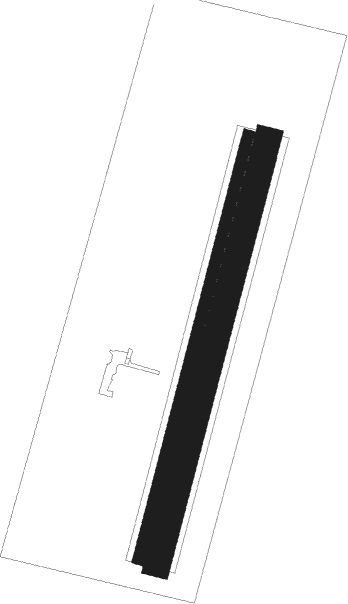
Most
Airport details
| Country | Czechia |
| State | Northwest |
| Region | LK |
| Airspace | Prague Ctr |
| Municipality | Most |
| Elevation | 1084ft (330m) |
| Timezone | GMT +1 |
| Coordinates | 50.52500, 13.68306 |
| Magnetic var | |
| Type | land |
| Available since | X-Plane v10.40 |
| ICAO code | LKMO |
| IATA code | n/a |
| FAA code | n/a |
Communication
| Most INFO | 123.500 |
Nearby Points of Interest:
Church of Saint George (České Zlatníky)
-Watermill in Rudolice
-Church of the Holy Spirit and former hospital in Most
-Church of Saint Wenceslaus in Želenice
-Stronghold Patokryje
-Austro-Hungarian Army barracks in Most
-Stations of the Cross in Most
-Jewish cemetery in Souš
-Plague column in Most
-Church of the Exaltation of the Holy Cross
-Most Crematorium
-Podkrušnohorské technické muzeum
-Korozluky Castle
-Kostel svatého Michaela archanděla
-Church of Saint Catherine (Chouč)
-Důl Koh-i-noor II
-Church of Saint Augustine in Lužice
-Town hall
-Chapel of Saint Ferdinand
-Brewery in Bílina
-Bílina Hillfort
-Mirošovice Castle
-Church of Saint Lawrence
-Hrobčice Castle
-Důl Centrum
Nearby beacons
| code | identifier | dist | bearing | frequency |
|---|---|---|---|---|
| DRN | DRESDEN VOR/DME | 29.6 | 350° | 114.35 |
| V | MASLOVICE (VODOCHODY) NDB | 32.2 | 114° | 416 |
| L | LIBOC (PRAGUE) NDB | 33.5 | 124° | 372 |
| OKL | PRAGUE VOR/DME | 34.1 | 126° | 112.60 |
| L | VRATA (KARLOVY VARY) NDB | 34.6 | 246° | 365 |
| HDO | HERMSDORF VOR/DME | 35.5 | 60° | 108.65 |
| DND | DME | 36.4 | 7° | 115.40 |
| NER | NERATOVICE VOR/DME | 37.1 | 100° | 112.25 |
| FS | DRESDEN NDB | 40.6 | 14° | 374 |
| K | KBELY NDB | 41.4 | 114° | 438 |
| KD | KBELY NDB | 42.8 | 111° | 300 |
| PSK | DME | 46.4 | 155° | 117.60 |
Disclaimer
The information on this website is not for real aviation. Use this data with the X-Plane flight simulator only! Data taken with kind consent from X-Plane 12 source code and data files. Content is subject to change without notice.

