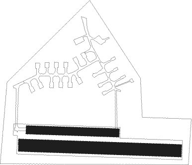
Olomouc
Airport details
| Country | Czechia |
| State | Central Moravia |
| Region | LK |
| Airspace | Prague Ctr |
| Municipality | Olomouc |
| Elevation | 869ft (265m) |
| Timezone | GMT +1 |
| Coordinates | 49.58722, 17.21000 |
| Magnetic var | |
| Type | land |
| Available since | X-Plane v10.40 |
| ICAO code | LKOL |
| IATA code | OLO |
| FAA code | n/a |
Communication
| Olomouc INFO | 118.000 |
Nearby Points of Interest:
Crematorium in Olomouc
-Vila rodiny Stratilových
-Vila Františky Lipčíkové
-Nakládalova vila
-Church of Saints Cyril and Methodius
-Vila Pauly a Hanse Briessových
-Vila Otto Zweiga
-Vila JUDr. Eduarda Šrota
-Pöttingeum
-Saint Andrew Church, Olomouc
-Vila Eduarda Hamburgera
-Red Church
-District Court in Olomouc
-Petráš palace
-Passingerův mlýn
-Edelmann palace
-Town hall in Olomouc
-Kostel Svatých schodů
-Hercules Fountain
-Komenium (Olomouc)
-Dům U Zlatého jelena
-Dům U zlaté hvězdy
-Krajinská lékárna
-Dům U Černého psa
-Měšťanská střelnice

Nearby beacons
| code | identifier | dist | bearing | frequency |
|---|---|---|---|---|
| KUN | KUNOVICE NDB | 30.6 | 148° | 416 |
| B | BOREK (BRNO) NDB | 32.4 | 228° | 429 |
| BNO | BRNO VOR/DME | 33.1 | 230° | 114.45 |
| KNE | KUNOVICE NDB | 33.8 | 156° | 434 |
| R | RADA (OSTRAVA) NDB | 34.4 | 84° | 534 |
| OTA | OSTRAVA VOR/DME | 35.5 | 83° | 117.45 |
| N | NADA (OSTRAVA) NDB | 36.8 | 82° | 258 |
| PNY | CENTR (PIESTANY) NDB | 63.5 | 148° | 297 |
Disclaimer
The information on this website is not for real aviation. Use this data with the X-Plane flight simulator only! Data taken with kind consent from X-Plane 12 source code and data files. Content is subject to change without notice.