Usti Nad Labem
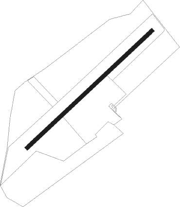
Airport details
| Country | Czechia |
| State | Northwest |
| Region | LK |
| Airspace | Prague Ctr |
| Municipality | Ústí nad Labem |
| Elevation | 787ft (240m) |
| Timezone | GMT +1 |
| Coordinates | 50.69972, 13.96972 |
| Magnetic var | |
| Type | land |
| Available since | X-Plane v10.40 |
| ICAO code | LKUL |
| IATA code | n/a |
| FAA code | n/a |
Communication
| Usti nad Labem INFO | 123.405 |
Nearby Points of Interest:
Křížová cesta
-Saint Nicholas church (Všebořice)
-Území bojiště u Přestanova, Chlumce a Varvažova
-Chapel of Saint John of Nepomuk
-Church of the Nativity of the Virgin Mary
-Kleist Memorial
-Nová správní budova Spolchemie
-Weinmannův palác
-Stará správní budova Spolchemie
-Church of Saint Paul
-Wofrumova vila
-Church of the Nativity of the Virgin Mary (Trmice)
-Evangelical church
-Church of Saint Adalbert of Prague
-Dominican monastery in Ústí nad Labem
-Chairlift Bohosudov - Komáří vížka
-Revír Knötel
-Stations of the Cross in Bohosudov
-Jezuitská rezidence
-Church of Saints Peter and Paul
-Church of Saint Anne in Krupka
-Velká pinka na Komáří hůrce
-Hornická stezka
-socha svatého Františka Xaverského
-Libouchec
Nearby beacons
| code | identifier | dist | bearing | frequency |
|---|---|---|---|---|
| HDO | HERMSDORF VOR/DME | 20.4 | 60° | 108.65 |
| DRN | DRESDEN VOR/DME | 23.6 | 310° | 114.35 |
| DND | DME | 27 | 334° | 115.40 |
| FS | DRESDEN NDB | 29.9 | 346° | 374 |
| NER | NERATOVICE VOR/DME | 31.9 | 117° | 112.25 |
| V | MASLOVICE (VODOCHODY) NDB | 32.6 | 140° | 416 |
| L | LIBOC (PRAGUE) NDB | 36.8 | 151° | 372 |
| OKL | PRAGUE VOR/DME | 37.9 | 154° | 112.60 |
| K | KBELY NDB | 41.1 | 134° | 438 |
| KD | KBELY NDB | 41.6 | 129° | 300 |
| PSK | DME | 54.9 | 176° | 117.60 |
Disclaimer
The information on this website is not for real aviation. Use this data with the X-Plane flight simulator only! Data taken with kind consent from X-Plane 12 source code and data files. Content is subject to change without notice.