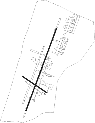
Rishon Lezion - Palmahim Ab
Airport details
| Country | Israel |
| State | Center District |
| Region | |
| Airspace | Tel Aviv Ctr |
| Municipality | Yavne |
| Elevation | 32ft (10m) |
| Timezone | GMT +2 |
| Coordinates | 31.90645, 34.69741 |
| Magnetic var | |
| Type | land |
| Available since | X-Plane v10.40 |
| ICAO code | LL59 |
| IATA code | n/a |
| FAA code | n/a |
Communication
| Palmahim AB TEL AVIV Approach | 121.400 |
| Palmahim AB TEL AVIV Approach | 120.900 |
Nearby Points of Interest:
Sereni House
-Yesha House
-Rehovot Yosefzon House
-Givat Brenner Pigeon Coop
-Rehovot Assembly Hall
-Bet HaTavshil
-Rishon LeZion old water tower
-Freimann House
-London Hotel
-Yeshurun Central Synagogue
-Sverdloff Hut
-Gedera Museum
-The Security Road
-Etzion grove
-Yitzhak Sadeh house
-White mosque
-Mikveh Israel
-Ali Bibi House
-Sabil Abu Nabbut
-Beit HaEshel
-Jaffa Post Office Building
-Razi'el street
-Sursuk House

Nearby beacons
| code | identifier | dist | bearing | frequency |
|---|---|---|---|---|
| BGN | BEN GURION (TEL AVIV) VOR/DME | 11.1 | 59° | 113.50 |
| NAT | NATANIA VOR/DME | 29.1 | 32° | 112.40 |
| BSA | BEER SHEBA VOR/DME | 37.2 | 178° | 114.30 |
| MZD | METZADA VOR/DME | 49.5 | 130° | 115 |
| RMD | RAMAT DAVID NDB | 51.8 | 33° | 368 |
| ARH | EL ARISH VOR/DME | 66.8 | 226° | 113.60 |
Disclaimer
The information on this website is not for real aviation. Use this data with the X-Plane flight simulator only! Data taken with kind consent from X-Plane 12 source code and data files. Content is subject to change without notice.