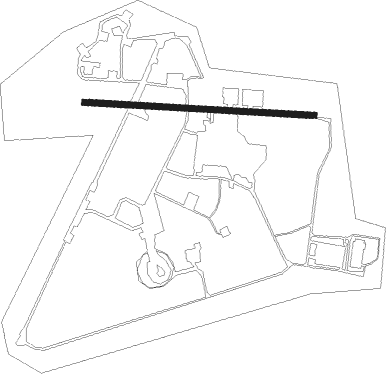
Ein Shemer - Eyn Shemer
Airport details
| Country | Israel |
| State | Haifa District |
| Region | LL |
| Airspace | Tel Aviv Ctr |
| Municipality | Menashe Regional Council |
| Elevation | 95ft (29m) |
| Timezone | GMT +2 |
| Coordinates | 32.44167, 35.00361 |
| Magnetic var | |
| Type | land |
| Available since | X-Plane v10.40 |
| ICAO code | LLES |
| IATA code | HDA |
| FAA code | n/a |
Communication
| Eyn Shemer TEL AVIV Approach | 123.400 |
| Eyn Shemer TEL AVIV Approach | 124.300 |
| Eyn Shemer TEL AVIV Approach | 132.050 |
Nearby Points of Interest:
Sharon Cinema
-Bayyarat Hannun
-Palmach Cave
-Villa Sieff
-Wilfrid Israel Museum
-Nahal Me'arot Nature Reserve
-Megiddo Airport
-Ramat David Airbase
-Kfar Saba Town Hall (Khan)
-Hod Hasharon museum
-The Museum of Pioneer Settlement
-Ben Sheffer Garden
-Nahalal Police Station
-The Large Yard at Merhavia
-Davor house
-Nablus
-Kfar Yeladim
-Ma'alul
-Neve Sha'anan water tower
-Yarkon cinema (Rosh Ha'ayin)
-The Yemenite Jewry Heritage Center
-Mahane Israel
Nearby beacons
| code | identifier | dist | bearing | frequency |
|---|---|---|---|---|
| NAT | NATANIA VOR/DME | 6.7 | 198° | 112.40 |
| RMD | RAMAT DAVID NDB | 16.2 | 39° | 368 |
| BGN | BEN GURION (TEL AVIV) VOR/DME | 26.5 | 197° | 113.50 |
| ROP | ROSH-PINA VOR/DME | 43.3 | 46° | 115.30 |
| MDB | MADABA NDB | 61.5 | 131° | 399 |
Disclaimer
The information on this website is not for real aviation. Use this data with the X-Plane flight simulator only! Data taken with kind consent from X-Plane 12 source code and data files. Content is subject to change without notice.