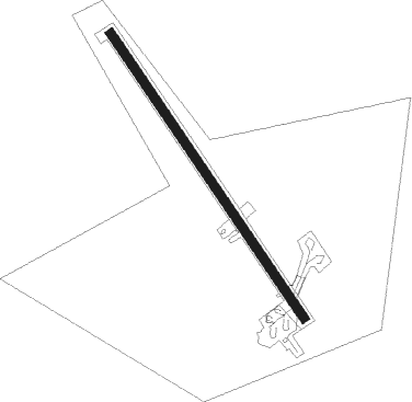
Rosh Pina - Rosh Pina I Ben Yaakov
Airport details
| Country | Israel |
| State | North District |
| Region | |
| Airspace | Tel Aviv Ctr |
| Municipality | Rosh Pina |
| Elevation | 875ft (267m) |
| Timezone | GMT +2 |
| Coordinates | 32.97960, 35.56803 |
| Magnetic var | |
| Type | land |
| Available since | X-Plane v10.40 |
| ICAO code | LLIB |
| IATA code | RPN |
| FAA code | n/a |
Communication
| Rosh Pina I Ben Yaakov ATIS | 132.450 |
| Rosh Pina I Ben Yaakov ROSH PINA Tower | 118.450 |
Nearby Points of Interest:
Mishmar HaYarden
-Bet Busel
-Safed Old City
-Beit Hameiri
-Upper customs house
-Beit HaRishonim, Migdal
-Villa Melchett
-Tel Naama
-Hashomer Museum
-kinneret farm
-Dan
-Al-Hamma Station
-Gadara
-Mahane Israel
-Ma'alul
-Beit Liberman
-Rosh Hanikra train tunnels
-Acre
-Tyre
-Kfar Yeladim
-The Museum of Pioneer Settlement
-Suk al-Abjad
-Nahalal Police Station
Nearby beacons
| code | identifier | dist | bearing | frequency |
|---|---|---|---|---|
| ROP | ROSH-PINA VOR/DME | 0.2 | 58° | 115.30 |
| RMD | RAMAT DAVID NDB | 27 | 231° | 368 |
| MEZ | MEZZEH (DAMASCUS) NDB | 44.9 | 52° | 358 |
| BAR | BAYSUR VOR | 47.4 | 359° | 113.90 |
| ABD | ABYAD (DAMASCUS) NDB | 48.2 | 68° | 264 |
| NAT | NATANIA VOR/DME | 49.2 | 223° | 112.40 |
| KAD | KALDE VOR/DME | 49.8 | 354° | 112.60 |
| DAM | DAMASCUS VOR/DME | 50.8 | 67° | 116 |
| BOD | BOD NDB | 55.6 | 355° | 351 |
| AMN | AMMAN VOR/DME | 63.7 | 153° | 116.30 |
| BGN | BEN GURION (TEL AVIV) VOR/DME | 67.8 | 216° | 113.50 |
Disclaimer
The information on this website is not for real aviation. Use this data with the X-Plane flight simulator only! Data taken with kind consent from X-Plane 12 source code and data files. Content is subject to change without notice.