Haifa - Ramat David
Airport details
| Country | Israel |
| State | North District |
| Region | |
| Airspace | Tel Aviv Ctr |
| Municipality | Emek Izrael Regional Council |
| Elevation | 185ft (56m) |
| Timezone | GMT +2 |
| Coordinates | 32.66593, 35.16366 |
| Magnetic var | |
| Type | land |
| Available since | X-Plane v10.40 |
| ICAO code | LLRD |
| IATA code | n/a |
| FAA code | n/a |
Communication
| RAMAT DAVID Tower | 123.500 |
| RAMAT DAVID Tower | 118.600 |
| RAMAT DAVID TEL AVIV | 132.050 |
| RAMAT DAVID TEL AVIV | 123.400 |
| RAMAT DAVID TEL AVIV | 124.300 |
| RAMAT DAVID TEL AVIV | 125.800 |
Nearby Points of Interest:
Ramat David Airbase
-Wilfrid Israel Museum
-Nahalal Police Station
-The Museum of Pioneer Settlement
-Palmach Cave
-Ma'alul
-Megiddo Airport
-The Large Yard at Merhavia
-Kfar Yeladim
-Mahane Israel
-Neve Sha'anan water tower
-Nahal Me'arot Nature Reserve
-Bahá'í World Centre buildings
-Suk al-Abjad
-Acre
-Beit She'an former Railway Station
-Beit Liberman
-Beit HaRishonim, Migdal
-Villa Melchett
-kinneret farm
-Safed Old City
-Bet Busel
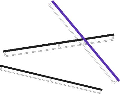
Runway info
Runway 09 / 27  | ||
| length | 2601m (8533ft) | |
| bearing | 86° / 266° | |
| width | 44m (145ft) | |
| surface | asphalt | |
| blast zone | 255m (837ft) / 0m (0ft) | |
| Runway 11 / 29 | ||
| length | 2427m (7963ft) | |
| bearing | 105° / 285° | |
| width | 35m (115ft) | |
| surface | asphalt | |
| blast zone | 255m (837ft) / 255m (837ft) | |
| Runway 15 / 33 | ||
| length | 2410m (7907ft) | |
| bearing | 140° / 320° | |
| width | 46m (150ft) | |
| surface | asphalt | |
| blast zone | 255m (837ft) / 255m (837ft) | |
Nearby beacons
| code | identifier | dist | bearing | frequency |
|---|---|---|---|---|
| RMD | RAMAT DAVID NDB | 0.9 | 88° | 368 |
| NAT | NATANIA VOR/DME | 22.2 | 210° | 112.40 |
| ROP | ROSH-PINA VOR/DME | 28 | 52° | 115.30 |
| BGN | BEN GURION (TEL AVIV) VOR/DME | 41.8 | 204° | 113.50 |
| AMN | AMMAN VOR/DME | 60.6 | 126° | 116.30 |
| MDB | MADABA NDB | 67.2 | 144° | 399 |
| QA | QUEEN ALIA NDB | 73.4 | 135° | 410 |
Disclaimer
The information on this website is not for real aviation. Use this data with the X-Plane flight simulator only! Data taken with kind consent from X-Plane 12 source code and data files. Content is subject to change without notice.