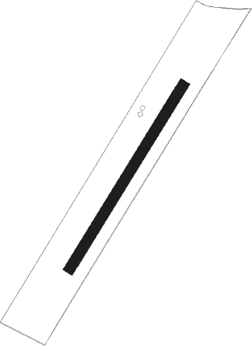
Altlichtenwarth
Airport details
| Country | Austria |
| State | Lower Austria |
| Region | LO |
| Airspace | Vienna Ctr |
| Municipality | Gemeinde Altlichtenwarth |
| Elevation | 603ft (184m) |
| Timezone | GMT +1 |
| Coordinates | 48.66618, 16.82513 |
| Magnetic var | |
| Type | land |
| Available since | X-Plane v10.32 |
| ICAO code | LOAR |
| IATA code | n/a |
| FAA code | n/a |
Communication
| Altlichtenwarth Flugplatz Altlichtenwarth | 125.250 |
Nearby beacons
| code | identifier | dist | bearing | frequency |
|---|---|---|---|---|
| WGM | WAGRAM VOR/DME | 24.4 | 224° | 112.20 |
| B | BOREK (BRNO) NDB | 29.2 | 348° | 429 |
| BNO | BRNO VOR/DME | 29.5 | 345° | 114.45 |
| OKR | STEFANIK NORTH NDB | 32.3 | 134° | 391 |
| KNE | KUNOVICE NDB | 33.6 | 59° | 434 |
| FMD | FISCHAMEND VOR/DME | 34.5 | 199° | 110.40 |
| B | BARKA (BRATISLAVA) NDB | 35.1 | 141° | 438 |
| STO | STOCKERAU VOR/DME | 35.3 | 253° | 113 |
| STE | STEINHOF NDB | 35.7 | 232° | 293 |
| BRK | BRUCK NDB | 36.4 | 190° | 408 |
| KUN | KUNOVICE NDB | 37.8 | 56° | 416 |
| LA | NAMEST NDB | 38 | 306° | 514 |
| OB | STEFANIK SOUTH NDB | 38.1 | 139° | 330 |
| L | NAMEST NDB | 39.3 | 306° | 362 |
| PNY | CENTR (PIESTANY) NDB | 39.7 | 93° | 297 |
| TUN | TULLN VOR/DME | 39.8 | 247° | 111.40 |
| TUN | TULLN NDB | 39.9 | 247° | 358 |
| JAN | JANOVCE VOR/DME | 40.9 | 124° | 110.80 |
| X | NAMEST NDB | 42.2 | 305° | 362 |
| XU | NAMEST NDB | 43.7 | 305° | 563 |
| SNU | SOLLENAU VOR/DME | 52.1 | 214° | 115.50 |
Disclaimer
The information on this website is not for real aviation. Use this data with the X-Plane flight simulator only! Data taken with kind consent from X-Plane 12 source code and data files. Content is subject to change without notice.
