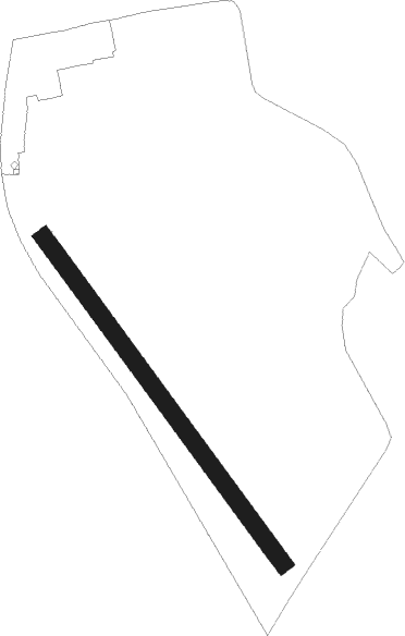
Spitzerberg
Airport details
| Country | Austria |
| State | Lower Austria |
| Region | LO |
| Airspace | Vienna Ctr |
| Municipality | Hundsheim |
| Elevation | 623ft (190m) |
| Timezone | GMT +1 |
| Coordinates | 48.10167, 16.93389 |
| Magnetic var | |
| Type | land |
| Available since | X-Plane v10.40 |
| ICAO code | LOAS |
| IATA code | n/a |
| FAA code | n/a |
Communication
| Spitzerberg Flugplatz Spitzerberg | 122.075 |
Nearby Points of Interest:
Karner Bad Deutsch-Altenburg
-Castle Heimenburg, Hainburg an der Donau
-Pfarrkirche
-Haydn's birthplace
-Pfarrkirche Kittsee
-Joseph-Joachim-Platz 9
-Pfarrkirche Markthof
-Pfarrkirche Loimersdorf
-Jüdischer Friedhof (Gattendorf)
-Royal Palace of Bratislava Castle
-Spanish Embassy, Bratislava
-Pfarrkirche Groißenbrunn
-Embassy of the United Kingdom, Bratislava
-Braníkov dom
-Embassy of Japan, Bratislava
-Old building of the Slovak National Theatre
-Pfarrkirche hll. Peter und Paul, Zurndorf
-Polish Institute in Bratislava
-Evang Pfarrkirche (Zurndorf)
-Synagogue Bruck an der Leitha
-Fakulta architektúry Slovenskej technickej univerzity (budova)
-Pfarrkirche Bruck an der Leitha
-King Franz Joseph monument
-Hrob Ferka Urbánka
-St. Petrus und Paulus
Nearby beacons
| code | identifier | dist | bearing | frequency |
|---|---|---|---|---|
| BRK | BRUCK NDB | 9 | 260° | 408 |
| FMD | FISCHAMEND VOR/DME | 12.2 | 271° | 110.40 |
| B | BARKA (BRATISLAVA) NDB | 12.7 | 81° | 438 |
| OB | STEFANIK SOUTH NDB | 14.6 | 88° | 330 |
| OKR | STEFANIK NORTH NDB | 16 | 71° | 391 |
| WGM | WAGRAM VOR/DME | 22.1 | 297° | 112.20 |
| JAN | JANOVCE VOR/DME | 24.9 | 83° | 110.80 |
| STE | STEINHOF NDB | 28.2 | 279° | 293 |
| SNU | SOLLENAU VOR/DME | 29.3 | 251° | 115.50 |
| TUN | TULLN NDB | 40.1 | 282° | 358 |
| STO | STOCKERAU VOR/DME | 41.2 | 289° | 113 |
| GYR | GYOR VOR/DME | 41.4 | 119° | 115.10 |
| PNY | CENTR (PIESTANY) NDB | 46.7 | 60° | 297 |
| CP | PAPA NDB | 47.1 | 142° | 318 |
| C | PAPA NDB | 48.7 | 142° | 493 |
| PCT | PAPA VORTAC | 48.7 | 142° | 114.75 |
| P | PAPA NDB | 51 | 143° | 493 |
| PC | PAPA NDB | 52.7 | 143° | 318 |
| KNE | KUNOVICE NDB | 60.3 | 29° | 434 |
Disclaimer
The information on this website is not for real aviation. Use this data with the X-Plane flight simulator only! Data taken with kind consent from X-Plane 12 source code and data files. Content is subject to change without notice.