Fürstenfeld
Airport details
| Country | Austria |
| State | Styria |
| Region | LO |
| Airspace | Vienna Ctr |
| Municipality | Fürstenfeld |
| Elevation | 830ft (253m) |
| Timezone | GMT +1 |
| Coordinates | 47.06250, 16.08556 |
| Magnetic var | |
| Type | land |
| Available since | X-Plane v10.40 |
| ICAO code | LOGF |
| IATA code | n/a |
| FAA code | n/a |
Communication
| Fürstenfeld Fürstenfeld Flugplatz | 122.705 |
Nearby Points of Interest:
Pfarrkirche Unterlamm
-Salvator Church
-Florianikapelle
-Wegkapelle
-Pfarrkirche Wörth an der Lafnitz
-Pfarrkirche Großsteinbach
-Mary Magdalene Church
-Alte Hofmühle
-Jost-Mühle
-Villa Hold (Feldbach)
-Pfarrkirche Edelsbach
-Saint Florian Church
-Saint Nicholas Church
-Austrian-Slovenian-Hungarian tripoint
-Pfarrkirche Eichkögl
-Kloster Bad Gleichenberg
-Terrassengebäude Bad Gleichenberg
-Vaški zvonik, Dolič
-Sts. Cosmas and Damian Parish Church
-Veitskirche
-Synagoge Oberwart
-St. Nicholas's Parish Church
-Kapela, Adrijanci
-Faričeva kapela, Vidonci
-Kapela sv. Duha, Večeslavci
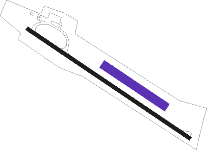
Runway info
Runway 13 / 31  | ||
| length | 694m (2277ft) | |
| bearing | 118° / 298° | |
| width | 13m (43ft) | |
| surface | asphalt | |
| displ threshold | 41m (135ft) / 0m (0ft) | |
| Runway 13L / 31R | ||
| length | 250m (820ft) | |
| bearing | 118° / 298° | |
| width | 30m (98ft) | |
| surface | grass | |
Nearby beacons
| code | identifier | dist | bearing | frequency |
|---|---|---|---|---|
| STK | KOGEL DME | 14.4 | 215° | 114.55 |
| GBG | GLEICHENBERG NDB | 15.7 | 238° | 426 |
| RAW | DME | 18.3 | 305° | 112.15 |
| GRZ | GRAZ VOR/DME | 26.8 | 260° | 116.20 |
| GRZ | GRAZ NDB | 27 | 257° | 290 |
| MI | OREHOVA VAS (MARIBOR) NDB | 39.3 | 213° | 355 |
| MR | MARIBOR NDB | 43.2 | 203° | 334 |
| VAR | VARAZDIN NDB | 46.6 | 159° | 344 |
| SNU | SOLLENAU VOR/DME | 49.4 | 14° | 115.50 |
Disclaimer
The information on this website is not for real aviation. Use this data with the X-Plane flight simulator only! Data taken with kind consent from X-Plane 12 source code and data files. Content is subject to change without notice.