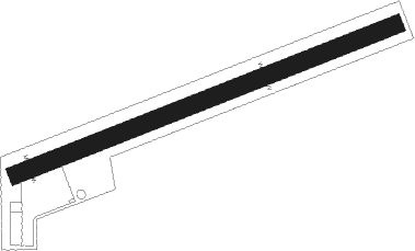
Lanzen - Lanzen-turnau
Airport details
| Country | Austria |
| State | Styria |
| Region | LO |
| Airspace | Vienna Ctr |
| Municipality | Turnau |
| Elevation | 2575ft (785m) |
| Timezone | GMT +1 |
| Coordinates | 47.55667, 15.32500 |
| Magnetic var | |
| Type | land |
| Available since | X-Plane v10.40 |
| ICAO code | LOGL |
| IATA code | n/a |
| FAA code | n/a |
Communication
| Lanzen-Turnau Lanzen-Turnau Flugplatz | 122.500 |
Nearby beacons
| code | identifier | dist | bearing | frequency |
|---|---|---|---|---|
| RAW | DME | 24.5 | 122° | 112.15 |
| ZW | ZELTWEG NDB | 31.6 | 238° | 418 |
| GRZ | GRAZ VOR/DME | 36.4 | 168° | 116.20 |
| GRZ | GRAZ NDB | 38.5 | 168° | 290 |
| SNU | SOLLENAU VOR/DME | 43.3 | 72° | 115.50 |
| GBG | GLEICHENBERG NDB | 44.6 | 145° | 426 |
| KOR | DME | 48.4 | 205° | 109.40 |
| STK | KOGEL DME | 49.3 | 140° | 114.55 |
| TUN | TULLN NDB | 52.3 | 41° | 358 |
| STE | STEINHOF NDB | 54 | 55° | 293 |
| STO | STOCKERAU VOR/DME | 58.7 | 39° | 113 |
| KFT | KLAGENFURT NDB | 64.6 | 220° | 374 |
| KFT | KLAGENFURT VOR/DME | 65.5 | 218° | 113.10 |
| KI | KLAGENFURT NDB | 67.5 | 226° | 313 |
Disclaimer
The information on this website is not for real aviation. Use this data with the X-Plane flight simulator only! Data taken with kind consent from X-Plane 12 source code and data files. Content is subject to change without notice.
