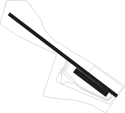
St. Johann In Tirol - St. Johann/tirol
Airport details
| Country | Austria |
| State | Tyrol |
| Region | LO |
| Airspace | Vienna Ctr |
| Municipality | Marktgemeinde St. Johann in Tirol |
| Elevation | 2198ft (670m) |
| Timezone | GMT +1 |
| Coordinates | 47.52056, 12.44944 |
| Magnetic var | |
| Type | land |
| Available since | X-Plane v10.40 |
| ICAO code | LOIJ |
| IATA code | n/a |
| FAA code | n/a |
Communication
| St. Johann/Tirol St. Johann Flugplatz | 120.355 |
Nearby Points of Interest:
Heimatmuseum
-Widum Fieberbrunn
-Altes Finanzamt, Kitzbühel
-Pfarrkirche hl. Rupert, Aurach bei Kitzbühel
-Scheffau am Wilden Kaiser - Parish church
-Pfarrkirche Hl. Johannes der Täufer, Walchsee
-Pfarrkirche hll. Bartholomäus und Nikolaus, Saalbach
-Wartturm, Saalbach
-Burgruine Saalegg
-Rathaus Kufstein
-St. Vitus
-Blasialm
-Pfarrkirche St. Jakob und St. Leonhard, Hopfgarten im Brixental
-Saint Joseph Church (Itter, Tyrol)
-Burgstall Raiten
-Sankt Johann Baptist (Bad Häring)
-Saueckkapelle
-Florianistraße 3
-Troyer
-Pfarrkirche Bruckhäusl
-Thiersee
-Reisach Priory
-St Margaretha
-Schloss Schönwörth
-Schloss Labach

Nearby beacons
| code | identifier | dist | bearing | frequency |
|---|---|---|---|---|
| RTT | RATTENBERG NDB | 21.3 | 260° | 303 |
| SI | SALZBURG NDB | 28.1 | 61° | 410 |
| GSB | DME | 31.7 | 67° | 109.45 |
| SBG | SALZBURG NDB | 32.2 | 45° | 382 |
| SBG | SALZBURG VOR/DME | 34 | 43° | 113.80 |
| RUM | RUM NDB | 42.6 | 256° | 320 |
| PAT | DME | 44.3 | 252° | 112 |
| OTT | OTTERSBERG VOR/DME | 47.1 | 316° | 112.30 |
| MSW | MUNICH NDB | 54.5 | 327° | 400 |
| MNW | MUNICH NDB | 55.6 | 328° | 338 |
| DMS | DME | 56.1 | 321° | 115 |
| DMN | DME | 57.2 | 322° | 116 |
| MSE | MUNICH NDB | 58.4 | 316° | 358 |
| MNE | MUNICH NDB | 59 | 317° | 369 |
Departure and arrival routes
| SID end points | distance | outbound heading | |
|---|---|---|---|
| ALL | |||
| ERKI1G | 18mi | 272° | |
Instrument approach procedures
| runway | airway (heading) | route (dist, bearing) |
|---|---|---|
| RWNVA | ERKIR (92°) | ERKIR 9000ft IJ801 (5mi, 93°) 6500ft |
| RNAV | IJ801 6500ft IJ802 (3mi, 93°) 6000ft IJ803 (6mi, 92°) 3960ft IJ804 (3mi, 92°) IJ805 (4mi, 22°) IJ806 (5mi, 288°) ERKIR (14mi, 254°) 9000ft ERKIR (turn) 9000ft |
Disclaimer
The information on this website is not for real aviation. Use this data with the X-Plane flight simulator only! Data taken with kind consent from X-Plane 12 source code and data files. Content is subject to change without notice.