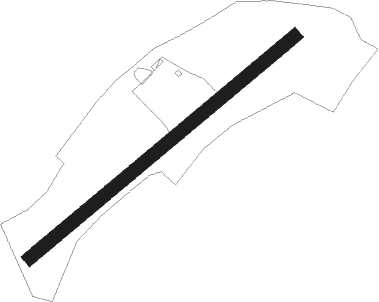
Kufstein - Kufstein Langkampfen
Airport details
| Country | Austria |
| State | Tyrol |
| Region | LO |
| Airspace | Vienna Ctr |
| Municipality | Gemeinde Langkampfen |
| Elevation | 1586ft (483m) |
| Timezone | GMT +1 |
| Coordinates | 47.56417, 12.12750 |
| Magnetic var | |
| Type | land |
| Available since | X-Plane v10.40 |
| ICAO code | LOIK |
| IATA code | n/a |
| FAA code | n/a |
Communication
| Kufstein Langkampfen Kufstein Flugplatz | 122.380 |
Nearby Points of Interest:
Thiersee
-St Margaretha
-St. Vitus
-Rathaus Kufstein
-Schloss Schönwörth
-Troyer
-Sankt Johann Baptist (Bad Häring)
-Mariastein - Castle and church
-Pfarrkirche Bruckhäusl
-Florianistraße 3
-Scheffau am Wilden Kaiser - Parish church
-Saint Joseph Church (Itter, Tyrol)
-Reisach Priory
-Pfarrkirche St. Jakob und St. Leonhard, Hopfgarten im Brixental
-Niederau, Kath. Pfarrkirche hl. Sixtus mit Kriegerdenkmal
-Oberau, Kath. Pfarrkirche hl. Margaretha und Kriegerdenkmal
-Larcheralm
-Sankt Peter (Breitenbach am Inn)
-St. Peter's Abbey on the Madron
-Filialkirche St. Leonhard, Kundl
-Pfarrkirche Hl. Johannes der Täufer, Walchsee
-Hubertuskapelle
-Auffach, Kath. Pfarrkirche hl. Nepomuk und Friedhof
-Pfarrkirche Thierbach
-Filialkirche Aschau in Brandenberg
Nearby beacons
| code | identifier | dist | bearing | frequency |
|---|---|---|---|---|
| RTT | RATTENBERG NDB | 11 | 235° | 303 |
| RUM | RUM NDB | 32 | 246° | 320 |
| PAT | DME | 34.5 | 242° | 112 |
| INN | INNSBRUCK NDB | 35.6 | 245° | 420 |
| SI | SALZBURG NDB | 37.9 | 74° | 410 |
| OTT | OTTERSBERG VOR/DME | 39 | 333° | 112.30 |
| SBG | SALZBURG NDB | 39.2 | 62° | 382 |
| SBG | SALZBURG VOR/DME | 40.5 | 60° | 113.80 |
| GSB | DME | 42.3 | 76° | 109.45 |
| OBI | OBERPFAFFENHOFEN NDB | 45.9 | 302° | 429 |
| MSW | MUNICH NDB | 48.1 | 344° | 400 |
| DMS | DME | 48.7 | 336° | 115 |
| MNW | MUNICH NDB | 49.4 | 345° | 338 |
| MSE | MUNICH NDB | 49.9 | 328° | 358 |
| DMN | DME | 50 | 337° | 116 |
| MNE | MUNICH NDB | 50.8 | 330° | 369 |
| MAH | MAISACH VOR/DME | 53.3 | 311° | 115.20 |
Disclaimer
The information on this website is not for real aviation. Use this data with the X-Plane flight simulator only! Data taken with kind consent from X-Plane 12 source code and data files. Content is subject to change without notice.