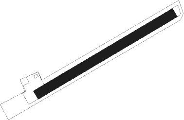
St. Donat - St Donat-mairist
Airport details
| Country | Austria |
| State | Carinthia |
| Region | LO |
| Airspace | Vienna Ctr |
| Municipality | Sankt Veit an der Glan |
| Elevation | 1757ft (536m) |
| Timezone | GMT +1 |
| Coordinates | 46.74249, 14.41108 |
| Magnetic var | |
| Type | land |
| Available since | X-Plane v10.40 |
| ICAO code | LOKR |
| IATA code | n/a |
| FAA code | n/a |
Communication
| St Donat-Mairist St Donat Flugplatz | 122.175 |
Nearby beacons
| code | identifier | dist | bearing | frequency |
|---|---|---|---|---|
| KI | KLAGENFURT NDB | 6.6 | 195° | 313 |
| KFT | KLAGENFURT NDB | 8.6 | 134° | 374 |
| KFT | KLAGENFURT VOR/DME | 10.7 | 134° | 113.10 |
| VIW | DME | 20.6 | 265° | 112.90 |
| KOR | DME | 23.1 | 85° | 109.40 |
| LBL | LJUBLJANA VOR/DME | 30.2 | 178° | 117.20 |
| ZW | ZELTWEG NDB | 30.7 | 37° | 418 |
| MG | LJUBLJANA NDB | 34.7 | 166° | 296 |
| DOL | DOLSKO VOR/DME | 42.3 | 151° | 112.70 |
| RK | CERKLJE-RAKA NDB | 64.9 | 131° | 359 |
| RCH | RONCHI DEI LEGIONARI VOR/DME | 67 | 226° | 114.20 |
Disclaimer
The information on this website is not for real aviation. Use this data with the X-Plane flight simulator only! Data taken with kind consent from X-Plane 12 source code and data files. Content is subject to change without notice.
