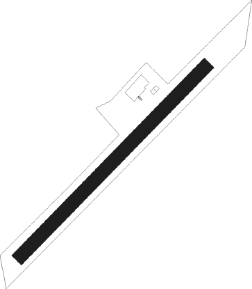
Scharnstein
Airport details
| Country | Austria |
| State | Upper Austria |
| Region | LO |
| Airspace | Vienna Ctr |
| Municipality | Scharnstein |
| Elevation | 1754ft (535m) |
| Timezone | GMT +1 |
| Coordinates | 47.89806, 13.93861 |
| Magnetic var | |
| Type | land |
| Available since | X-Plane v10.40 |
| ICAO code | LOLC |
| IATA code | n/a |
| FAA code | n/a |
Communication
| Scharnstein Scharnstein Flugplatz | 122.505 |
Nearby Points of Interest:
Pfarrkirche Scharnstein
-Pfarrkirche Viechtwang
-Saint Conrad of Constance Church
-Pfarrkirche Steinbach am Ziehberg
-Pfarrkirche hl. Katharina
-Saint Lawrence Church
-Schloss Roith, Gmunden
-Krottensee
-Amtsgebäude der ehem. K.K. Forst- und Domänen-Direktion Gmunden, heute Forstdirektion der Österreichischen Bundesforste
-Château Mühlwang
-Karmelitinnenkloster Gmunden
-Freisitz Mühlleiten
-Spitalkirche hl. Jakob, Gmunden
-Bezirksgericht Gmunden
-Gemeindeamt Inzersdorf im Kremstal
-Filialkirche Inzersdorf im Kremstal
-Villa Toscana, Gmunden
-Traunkirchen monastery
-Pfarrkirche hl. Martin, Ohlsdorf
-Schloss Ebenzweier
-Schloss Lindach
-Pfarrkirche Lindach
-Herrenhaus
-Stadtpfarrkirche Kirchdorf an der Krems
-Evangelische Pfarrkirche Kirchdorf an der Krems
Nearby beacons
| code | identifier | dist | bearing | frequency |
|---|---|---|---|---|
| LNZ | LINZ VOR/DME | 20.9 | 26° | 116.60 |
| LNZ | LINZ NDB | 25.5 | 48° | 327 |
| FRE | DME | 32.9 | 20° | 113.50 |
| GSB | DME | 33.7 | 264° | 109.45 |
| SI | SALZBURG NDB | 38.6 | 265° | 410 |
| ZW | ZELTWEG NDB | 53.5 | 131° | 418 |
Disclaimer
The information on this website is not for real aviation. Use this data with the X-Plane flight simulator only! Data taken with kind consent from X-Plane 12 source code and data files. Content is subject to change without notice.