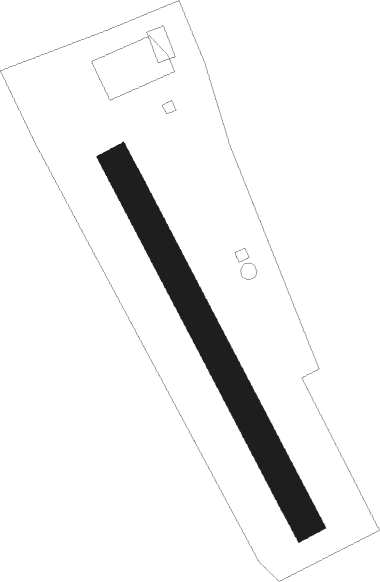
Eferding
Airport details
| Country | Austria |
| State | Upper Austria |
| Region | LO |
| Airspace | Vienna Ctr |
| Municipality | Pupping |
| Elevation | 886ft (270m) |
| Timezone | GMT +1 |
| Coordinates | 48.33889, 13.98611 |
| Magnetic var | |
| Type | land |
| Available since | X-Plane v10.40 |
| ICAO code | LOLE |
| IATA code | n/a |
| FAA code | n/a |
Communication
| Eferding Eferding Flugplatz | 122.400 |
Nearby Points of Interest:
Malteserstöckl, Stroheim
-Sankt Johannes der Täufer
-Evang. Pfarrkirche A.B.
-Pfarrkirche Aschach an der Donau
-Schloss Bergheim
-Schloss Dachsberg
-Kneipp-Kuranstalt Bad Mühllacken
-Burgruine Freudenstein
-Pfarrkirche Goldwörth
-Kirche Maria Hilf
-Burgstall Winzberg
-Pfarrkirche St. Thomas bei Waizenkirchen
-Schloss Weidenholz
-Castrum Ioviacum
-Schloßbühel Schwarzgrub
-Sankt Petrus
-Evangelische Pfarrkirche Wallern an der Trattnach
-Pfarrkirche Heiligenberg
-Katholische Pfarrkirche Wallern an der Trattnach
-Schloss Mistelbach
-Gneisenau castle
-Saint Lawrence church in Kleinzell
-Pfarrkirche Walding
-Sankt Jakob
-Filialkirche St. Nikola, Inzell
Nearby beacons
| code | identifier | dist | bearing | frequency |
|---|---|---|---|---|
| FRE | DME | 7.9 | 57° | 113.50 |
| LNZ | LINZ VOR/DME | 8 | 133° | 116.60 |
| LNZ | LINZ NDB | 14.7 | 107° | 327 |
| GSB | DME | 47.5 | 239° | 109.45 |
| SI | SALZBURG NDB | 50.8 | 242° | 410 |
Disclaimer
The information on this website is not for real aviation. Use this data with the X-Plane flight simulator only! Data taken with kind consent from X-Plane 12 source code and data files. Content is subject to change without notice.