Leiria - Aerodromo Jose Ferrinho
Airport details
| Country | Portugal |
| State | Distrito de Leiria |
| Region | LP |
| Airspace | Lisbon Ctr |
| Municipality | Leiria |
| Elevation | 137ft (42m) |
| Timezone | GMT +0 |
| Coordinates | 39.78222, -8.81972 |
| Magnetic var | |
| Type | land |
| Available since | X-Plane v10.30 |
| ICAO code | LPJF |
| IATA code | n/a |
| FAA code | n/a |
Communication
| Aerodromo Jose Ferrinho Estacao Aeronautica | 121.250 |
Nearby Points of Interest:
Paços do Concelho de Leiria
-Ermida de Nossa Senhora da Guia
-Sanctuary of Fátima
-Moinhos Velhos Cave
-Termas da Piedade
-Chapel of Seiça
-Capela de Nossa Senhora do Desterro
-Church of Nossa Senhora da Vitória
-Aqueduto dos Pegões
-Igreja Paroquial de Alfeizerão
-Colégio Nun'Álvares de Tomar
-Palácio da Justiça
-Casino Oceano
-Igreja da Misericórdia de Torres Novas
-Igreja de Nossa Senhora da Conceição (Louriceira)
-Fortim dos Palheiros
-Paço de Maiorca
-Capela da Misericórdia de Montemor-o-Velho
-Palácio dos Figueiredos
-Igreja Matriz de Santo Varão
-Igreja de São João Baptista (Figueiró dos Vinhos)
-Casulo (Figueiró dos Vinhos)
-Chafariz das Cinco Bicas
-Miranda do Corvo
-Óbidos halt
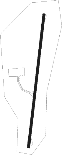
Runway info
| Runway 02 / 20 | ||
| length | 576m (1890ft) | |
| bearing | 14° / 194° | |
| width | 12m (39ft) | |
| surface | asphalt | |
| displ threshold | 31m (102ft) / 21m (69ft) | |
Nearby beacons
| code | identifier | dist | bearing | frequency |
|---|---|---|---|---|
| MTR | MONTE REAL TACAN | 4.4 | 306° | 109.60 |
| FTM | FATIMA VOR/DME | 16.6 | 110° | 113.50 |
| NSA | NISA VOR/DME | 43.8 | 104° | 115.50 |
| LAR | ARRUDA (LISBON) NDB | 48.4 | 196° | 382 |
| DMT | DME | 51.5 | 138° | 110.80 |
| LIS | LISBON VOR/DME | 56 | 201° | 114.80 |
| STR | SINTRA NDB | 60.5 | 213° | 371 |
| SRA | SINTRA VORTAC | 62.1 | 209° | 112.10 |
| VIS | VISEU VOR/DME | 70.9 | 45° | 113.10 |
Disclaimer
The information on this website is not for real aviation. Use this data with the X-Plane flight simulator only! Data taken with kind consent from X-Plane 12 source code and data files. Content is subject to change without notice.