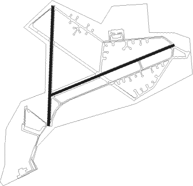
Montijo
Airport details
| Country | Portugal |
| State | Setúbal District |
| Region | LP |
| Airspace | Lisbon Ctr |
| Municipality | Montijo e Afonsoeiro |
| Elevation | 44ft (13m) |
| Timezone | GMT +0 |
| Coordinates | 38.69164, -9.04564 |
| Magnetic var | |
| Type | land |
| Available since | X-Plane v10.40 |
| ICAO code | LPMT |
| IATA code | n/a |
| FAA code | n/a |
Communication
| Montijo Tower | 134.100 |
Approach frequencies
| ILS-cat-I | RW26 | 109.7 | 18.00mi |
| 3° GS | RW26 | 109.7 | 18.00mi |
Nearby Points of Interest:
Madre de Deus Convent
-Escola Secundária Afonso Domingues
-Ancient Roman theatre (Lisbon)
-Vasco da Gama Bridge
-Penafiel Palace
-Lápides das Pedras Negras
-Cais das Colunas
-Edifício na Rua da Senhora do Monte, incluindo o jardim
-Pillory of Lisbon
-Fábrica de Cerâmica da Viúva Lamego
-Avenida Almirante Reis, 2-2K
-Carmo Convent
-Café Nicola (Lisbon)
-Livraria Bertrand
-Teatro Nacional de São Carlos
-Farmácia Durão
-Teatro São Luiz
-Palácio Ferreira Pinto Basto
-Casa do Ferreira das Tabuletas
-Elevador do Lavra
-Teatro Eden
-Cinema Odeon (Lisbon)
-Palácio da Bemposta
-Cinema Condes
-Ascensor da Glória

Nearby beacons
| code | identifier | dist | bearing | frequency |
|---|---|---|---|---|
| MOJ | MONTIJO TACAN | 1.1 | 35° | 110 |
| ARR | DME-ILS | 12.5 | 157° | 108.30 |
| LIS | LISBON VOR/DME | 12.9 | 329° | 114.80 |
| CAS | CASCAIS VOR/DME | 15.2 | 280° | 114.30 |
| SRA | SINTRA VORTAC | 16 | 295° | 112.10 |
| ESP | ESPICHEL VOR/DME | 17.3 | 208° | 112.50 |
| LAR | ARRUDA (LISBON) NDB | 18.1 | 1° | 382 |
| STR | SINTRA NDB | 20.1 | 298° | 371 |
| DMT | DME | 46.3 | 66° | 110.80 |
| FTM | FATIMA VOR/DME | 63.9 | 30° | 113.50 |
Departure and arrival routes
| Transition altitude | 4000ft |
| SID end points | distance | outbound heading | |
|---|---|---|---|
| RW08 | |||
| ALAM1E, ALAM1N | 39mi | 43° | |
| TROI1E | 38mi | 165° | |
| ESP1E | 17mi | 208° | |
| RW26 | |||
| ALAM1S, ALAM1W | 39mi | 43° | |
| TROI1W | 38mi | 165° | |
| ESP1W | 17mi | 208° | |
Disclaimer
The information on this website is not for real aviation. Use this data with the X-Plane flight simulator only! Data taken with kind consent from X-Plane 12 source code and data files. Content is subject to change without notice.