Ovar
Airport details
| Country | Portugal |
| State | Aveiro District |
| Region | LP |
| Airspace | Lisbon Ctr |
| Municipality | Ovar |
| Elevation | 56ft (17m) |
| Timezone | GMT +0 |
| Coordinates | 40.92036, -8.64378 |
| Magnetic var | |
| Type | land |
| Available since | X-Plane v10.40 |
| ICAO code | LPOV |
| IATA code | n/a |
| FAA code | n/a |
Communication
| Ovar Ovar Tower | 118.600 |
| Ovar Ovar Approach | 123.300 |
Approach frequencies
| ILS-cat-I | RW36 | 109.3 | 18.00mi |
| 3° GS | RW36 | 109.3 | 18.00mi |
Nearby Points of Interest:
Passos de Ovar
-Residence of Portela
-Convento dos Lóios (Feira)
-Casa da Torre (São João de Vêr)
-mamoa da Quinta da Laje
-World War 1 Memorial
-Ponte da Pica
-Solar Condes de Resende
-Clínica Heliântia
-Quinta da Caneira
-UTIC - União de Transportadores para Importação e Comércio Lda.
-Ponte de Coronados
-Casa e jardins da família Barbot
-Casa da Rua da Reboleira, 55
-Port Wine Museum
-Restaurante Comercial
-Recolhimento do Ferro
-Instituto dos Vinhos do Douro e Porto
-Palace of São João Novo
-Fornos da Fábrica de Louça de Massarelos
-Fountain of Rua das Taipas
-English Club of Porto
-Cruzeiro de Roge
-Palácio de São Bento da Vitória
-Casa natal de Almeida Garrett
Nearby beacons
| code | identifier | dist | bearing | frequency |
|---|---|---|---|---|
| OVR | OVAR TACAN | 1.9 | 179° | 110.60 |
| DAR | DME | 19 | 88° | 114.90 |
| PRT | PORTO VOR/DME | 21.2 | 353° | 114.10 |
| VIS | VISEU VOR/DME | 36.4 | 105° | 113.10 |
| DMR | DME | 39.5 | 67° | 114.60 |
| DSA | DME | 52.8 | 356° | 115.20 |
| DMU | DME | 57.2 | 27° | 113.80 |
Departure and arrival routes
| Transition altitude | 4000ft |
| SID end points | distance | outbound heading | |
|---|---|---|---|
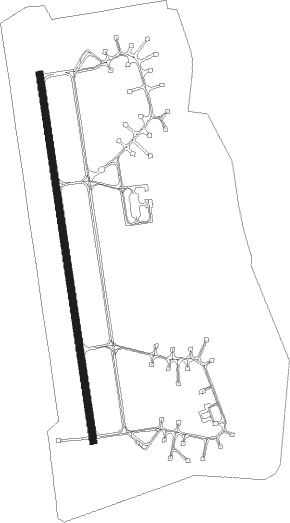
| RW18 | |||
| OFPA1S | 32mi | 173° | |
Disclaimer
The information on this website is not for real aviation. Use this data with the X-Plane flight simulator only! Data taken with kind consent from X-Plane 12 source code and data files. Content is subject to change without notice.