Proença-a-nova
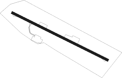
Airport details
| Country | Portugal |
| State | Castelo Branco |
| Region | LP |
| Airspace | Lisbon Ctr |
| Municipality | Proença a Nova e Peral |
| Elevation | 1333ft (406m) |
| Timezone | GMT +0 |
| Coordinates | 39.73111, -7.87472 |
| Magnetic var | |
| Type | land |
| Available since | X-Plane v10.40 |
| ICAO code | LPPN |
| IATA code | n/a |
| FAA code | n/a |
Communication
Nearby Points of Interest:
Ponte de Portas de Ródão
-Convento de Santo António (Sertã)
-Pillory of Sertã
-Oleiros
-Castelo da Sertã
-Church of São Pedro
-Castelo de Nisa
-Arquivo Distrital de Castelo Branco
-Solar dos Cardosos
-Casa na Rua Arco do Bispo, n.º 14
-Casulo (Figueiró dos Vinhos)
-Igreja de São João Baptista (Figueiró dos Vinhos)
-Convento de Santo António
-Casa da Câmara Municipal de Abrantes
-Conjunto de pilares na margem esquerda do rio Tejo
-Colégio Nun'Álvares de Tomar
-Fonte da Vila (Castelo de Vide)
-Aqueduto dos Pegões
-Góis
-Marvão-Beirã train station
-Palácio dos Salazares
-Church of São Sebastião
-Mosteiro de Folques, recheio artístico e quinta
-Miranda do Corvo
-Ponte de Vila Formosa
Nearby beacons
| code | identifier | dist | bearing | frequency |
|---|---|---|---|---|
| NSA | NISA VOR/DME | 10.1 | 193° | 115.50 |
| FTM | FATIMA VOR/DME | 28.8 | 264° | 113.50 |
| DMT | DME | 41.8 | 206° | 110.80 |
| VIS | VISEU VOR/DME | 59.5 | 359° | 113.10 |
Disclaimer
The information on this website is not for real aviation. Use this data with the X-Plane flight simulator only! Data taken with kind consent from X-Plane 12 source code and data files. Content is subject to change without notice.