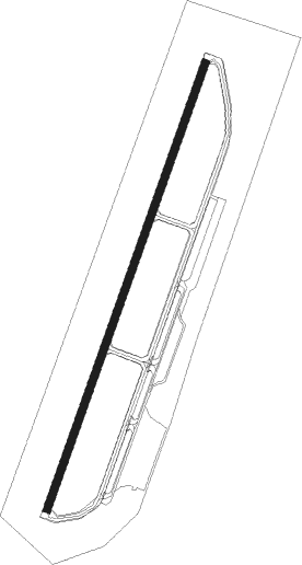
Ponte De Sor - Aerodromo Ponte De Sor
Airport details
| Country | Portugal |
| State | Distrito de Portalegre |
| Region | LP |
| Airspace | Lisbon Ctr |
| Municipality | Ponte de Sor |
| Elevation | 390ft (119m) |
| Timezone | GMT +0 |
| Coordinates | 39.21167, -8.05778 |
| Magnetic var | |
| Type | land |
| Available since | X-Plane v10.30 |
| ICAO code | LPSO |
| IATA code | n/a |
| FAA code | n/a |
Communication
| Aerodromo Ponte de Sor AFIS | 119.800 |
Nearby Points of Interest:
Castle of Avis
-Pelourinho de Avis
-Ponte de Vila Formosa
-Ponte de Ervedal
-Conjunto de pilares na margem esquerda do rio Tejo
-Igreja e Hospital da Misericórdia do Cabeção
-Casa da Câmara Municipal de Abrantes
-Convento de Santo António
-Coudelaria Nacional
-Chafariz da Praça da República (Alter do Chão)
-Ermida de Nossa Senhora do Pranto
-Antiga Igreja dos Terceiros de São Francisco
-Hospital Velho da Misericórdia da Chamusca
-Igreja Paroquial da Chamusca
-Castelo de Nisa
-Church of São Sebastião
-Igreja da Misericórdia de Torres Novas
-Colégio Nun'Álvares de Tomar
-Santarém bridge
-Aqueduto dos Pegões
-Ermida de Nossa Senhora da Conceição
-Castelo de Veiros
-Ponte Romana de Monforte
-Fonte da Vila (Castelo de Vide)
-pousada castelo de estremoz
Nearby beacons
| code | identifier | dist | bearing | frequency |
|---|---|---|---|---|
| DMT | DME | 10 | 224° | 110.80 |
| NSA | NISA VOR/DME | 22.2 | 22° | 115.50 |
| FTM | FATIMA VOR/DME | 33.9 | 316° | 113.50 |
| EVR | EVORA NDB | 41.6 | 166° | 425 |
| LAR | ARRUDA (LISBON) NDB | 47.6 | 258° | 382 |
| MTR | MONTE REAL TACAN | 53.6 | 307° | 109.60 |
| MOJ | MONTIJO TACAN | 54.6 | 243° | 110 |
| ARR | DME-ILS | 60.4 | 232° | 108.30 |
Disclaimer
The information on this website is not for real aviation. Use this data with the X-Plane flight simulator only! Data taken with kind consent from X-Plane 12 source code and data files. Content is subject to change without notice.