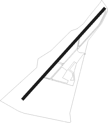
Santarém - Santarem
Airport details
| Country | Portugal |
| State | Santarém District |
| Region | LP |
| Airspace | Lisbon Ctr |
| Municipality | Santarém |
| Elevation | 99ft (30m) |
| Timezone | GMT +0 |
| Coordinates | 39.20857, -8.68855 |
| Magnetic var | |
| Type | land |
| Available since | X-Plane v10.40 |
| ICAO code | LPSR |
| IATA code | n/a |
| FAA code | n/a |
Communication
| Santarem Santarem Radio | 122.600 |
Nearby Points of Interest:
Santarém bridge
-Palácio de Pina Manique
-Igreja do Mosteiro de Nossa Senhora das Virtudes
-Ermida de Nossa Senhora do Pranto
-Igreja Paroquial da Chamusca
-Antiga Igreja dos Terceiros de São Francisco
-Igreja de Nossa Senhora da Conceição (Louriceira)
-Hospital Velho da Misericórdia da Chamusca
-Fábrica Nova da Romeira
-Igreja da Misericórdia de Torres Novas
-Túmulo de Damião de Góis
-Moinhos Velhos Cave
-Quinta dos Loridos
-Palácio Gorjão
-Chafariz de Arruda dos Vinhos
-casa de cima - muralha do castelo de obidos
-Óbidos halt
-Chafariz das Cinco Bicas
-Capela de Nossa Senhora do Desterro
-Igreja de São Quintino
-Sanctuary of Fátima
-Centro de Apoio Social de Runa
-Igreja Paroquial de Runa
-Termas da Piedade
-Igreja Paroquial de Alfeizerão
Nearby beacons
| code | identifier | dist | bearing | frequency |
|---|---|---|---|---|
| LAR | ARRUDA (LISBON) NDB | 20.8 | 239° | 382 |
| DMT | DME | 24.6 | 105° | 110.80 |
| FTM | FATIMA VOR/DME | 28.9 | 23° | 113.50 |
| LIS | LISBON VOR/DME | 29.3 | 236° | 114.80 |
| MOJ | MONTIJO TACAN | 34 | 215° | 110 |
| SRA | SINTRA VORTAC | 37.9 | 240° | 112.10 |
| MTR | MONTE REAL TACAN | 38.6 | 342° | 109.60 |
| STR | SINTRA NDB | 38.6 | 245° | 371 |
| CAS | CASCAIS VOR/DME | 41.8 | 236° | 114.30 |
| NSA | NISA VOR/DME | 41.8 | 65° | 115.50 |
| ARR | DME-ILS | 44.8 | 201° | 108.30 |
| ESP | ESPICHEL VOR/DME | 52.5 | 212° | 112.50 |
| EVR | EVORA NDB | 55.2 | 130° | 425 |
Disclaimer
The information on this website is not for real aviation. Use this data with the X-Plane flight simulator only! Data taken with kind consent from X-Plane 12 source code and data files. Content is subject to change without notice.