Câmpia Turzii - Campia Turzii
Airport details
| Country | Romania |
| State | Cluj |
| Region | |
| Airspace | Bucharest Ctr |
| Municipality | Luna |
| Elevation | 1083ft (330m) |
| Timezone | GMT +2 |
| Coordinates | 46.49996, 23.89233 |
| Magnetic var | |
| Type | land |
| Available since | X-Plane v10.40 |
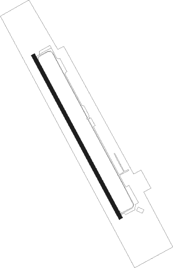
| ICAO code | LRCT |
| IATA code | n/a |
| FAA code | n/a |
Communication
| Campia Turzii Tower | 129.000 |
| Campia Turzii Approach | 129.000 |
| Campia Turzii Departure | 129.000 |
Nearby Points of Interest:
Casa de Cultură Ionel Floașiu
-Wooden church in Copand
-Reformed church of Turda-Veche
-Archangels wooden church in Cicău
-Wooden church in Cuci, Mureș
-Wooden church in Băgău, Alba
-Reformed church in Lopadea Nouă, Alba
-Wooden church of the Archangels in Livada, Petreștii de Jos, Cluj
-Bethlen College, Aiud
-Wooden church in Frata
-Saint Nicholas wooden church of Șilea
-Wooden church in Bobohalma, Mureș
-Reformed church in Boteni, Cluj
-Archdiocesan church of Feleacu
-Jidvei fortified church
-Haller Mansion in Sânpaul, Mureș
-Greek Catholic Archdiocese of Făgăraş and Alba Iulia
-Orthodox church of the Nativity of the Virgin Mary in Cluj-Napoca
-Roman-Catholic monastery in Teiuș
-Wooden church in Sub Piatră, Alba
-Reformed College in Cluj-Napoca
-Teleki Palace, Cluj-Napoca
-Palace of Justice
-Fortification of Cluj-Napoca
-Casa Kendeffy din Cluj-Napoca
Nearby beacons
| code | identifier | dist | bearing | frequency |
|---|---|---|---|---|
| TGM | TARGU MURES NDB | 17.4 | 97° | 428 |
| CLJ | CLUJ NAPOCA VOR/DME | 18.5 | 341° | 111.20 |
| D | TARGU MURES NDB | 20.3 | 94° | 373 |
| BAI | DME | 27.1 | 269° | 117.95 |
| CHU | CIUHII DME | 42.9 | 109° | 109.20 |
| SBI | SIBIU VOR/DME | 43.9 | 165° | 114 |
| SIB | SIBIU NDB | 44.2 | 160° | 381 |
| ZLU | DME | 50.9 | 310° | 108 |
| DVA | DEVA VOR/DME | 55.7 | 234° | 109.80 |
| HNU | HENIU TACAN | 58.1 | 47° | 133.60 |
Disclaimer
The information on this website is not for real aviation. Use this data with the X-Plane flight simulator only! Data taken with kind consent from X-Plane 12 source code and data files. Content is subject to change without notice.