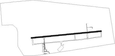
Craiova
Airport details
| Country | Romania |
| State | Dolj |
| Region | LR |
| Airspace | Bucharest Ctr |
| Municipality | Craiova |
| Elevation | 625ft (190m) |
| Timezone | GMT +2 |
| Coordinates | 44.31314, 23.87975 |
| Magnetic var | |
| Type | land |
| Available since | X-Plane v10.40 |
| ICAO code | LRCV |
| IATA code | CRA |
| FAA code | n/a |
Communication
| Craiova Tower | 129.530 |
| Craiova Approach | 124.300 |
Approach frequencies
| ILS-cat-I | RW27 | 108.7 | 18.00mi |
| 3° GS | RW27 | 108.7 | 18.00mi |
Nearby Points of Interest:
Dacian fortress of Coțofenii din Dos
-Biserica Sfântul Nicolae din Zăval
Nearby beacons
| code | identifier | dist | bearing | frequency |
|---|---|---|---|---|
| CRV | CRAIOVA VOR/DME | 1.8 | 83° | 110.20 |
| TGJ | TARGU JIU VOR/DME | 50.5 | 324° | 115.30 |
Disclaimer
The information on this website is not for real aviation. Use this data with the X-Plane flight simulator only! Data taken with kind consent from X-Plane 12 source code and data files. Content is subject to change without notice.