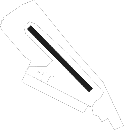
Iasi - Alexandru Matei
Airport details
| Country | Romania |
| State | [Other] |
| Region | |
| Airspace | Bucharest Ctr |
| Municipality | Iași |
| Elevation | 206ft (63m) |
| Timezone | GMT +2 |
| Coordinates | 47.15790, 27.63776 |
| Magnetic var | |
| Type | land |
| Available since | X-Plane v10.30 |
| ICAO code | LRIS |
| IATA code | n/a |
| FAA code | n/a |
Communication
| Alexandru Matei Tower | 128.300 |
Nearby Points of Interest:
Roznovanu Palace
-Assumption of Mary Church, Iași
-Saint Demetrius-Balș Church
-Talpalari Church
-Vasile Pogor memorial house in Iași
-Holy Forty Martyrs Church, Iași
-Valea Mare landscape reserve
-Piacenzian terrace near Codri
-Park of Milești
-Cazimir–Milești
-Seliște-Leu
-Seliște
-Izvoare–Risipeni
-Temeleuți landscape reserve
-Tectonic shift of Seliște
-Cabac
-Zberoaia–Lunca
-Spring of Ștefan cel Mare
-Scăfăreni
-"În Dos" ravine
-Ravine near Nisporeni
-Căbăiești–Pîrjolteni
-Leordoaia
-Spring of Nemțeni
-Călineștii Mici
Nearby beacons
| code | identifier | dist | bearing | frequency |
|---|---|---|---|---|
| IAS | IASI NDB | 0.3 | 344° | 384 |
| ISI | IASI NDB | 5.1 | 323° | 351 |
| LC | BALTI NDB | 42.2 | 10° | 389 |
| LCT | BALTI NDB | 43.6 | 9° | 790 |
| B | GEORGE ENESCU (BACAU) NDB | 49.2 | 228° | 520 |
| BAC | DME | 49.2 | 228° | 117.40 |
| BC | GEORGE ENESCU (BACAU) NDB | 50.1 | 226° | 426 |
| BCU | BACAU VOR/DME | 51.2 | 231° | 109.40 |
Disclaimer
The information on this website is not for real aviation. Use this data with the X-Plane flight simulator only! Data taken with kind consent from X-Plane 12 source code and data files. Content is subject to change without notice.
