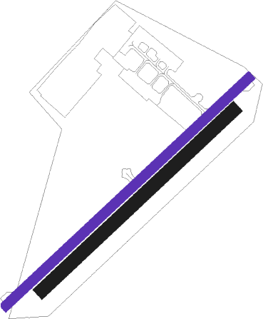
Neuchatel
Airport details
| Country | Switzerland |
| State | Neuchâtel |
| Region | LS |
| Airspace | Switzerland Ctr |
| Municipality | Boudry |
| Elevation | 1425ft (434m) |
| Timezone | GMT +1 |
| Coordinates | 46.95904, 6.86672 |
| Magnetic var | |
| Type | land |
| Available since | X-Plane v10.40 |
| ICAO code | LSGN |
| IATA code | QNC |
| FAA code | n/a |
Communication
| Neuchatel AFIS | 123.600 |
Nearby Points of Interest:
Temple de Colombier
-La Baume du Four
-Archives de l'État de Neuchâtel
-Neuchâtel
-Library of the University of Neuchâtel
-ensemble mégalithique de Treytel-A Sugiez
-Basilica of Our Lady of the Assumption, Neuchâtel
-Musée de l'Aviation Militaire de Payerne
-Gletterens–Les Grèves
-Neuchâtel Observatory
-Chabrey–Pointe de Montbec I
-Station paléolithique de Monruz
-Abbaye de Fontaine-André
-fountain of justice
-convent of the Dominican nuns of Estavayer
-Fanel
-Reformierte Kirche Le Locle
-Musée d'Horlogerie du Locle
-La Chaux-de-Fonds / Le Locle, Watchmaking Town Planning
-Provence
-Rectory (Avenches)
-Roman Museum in Avenches
-Villa Schwob
-La Presta
-Église Notre-Dame de Payerne
Nearby beacons
| code | identifier | dist | bearing | frequency |
|---|---|---|---|---|
| LPS | LES EPLATURES NDB | 8 | 329° | 403 |
| FRI | FRIBOURG VOR/DME | 18.2 | 117° | 110.85 |
| LAP | PRAZ DME | 25.2 | 238° | 110.65 |
| GRE | GRENCHEN VOR/DME | 26.2 | 68° | 115.45 |
| BSV | BESANCON NDB | 32.8 | 295° | 370 |
| MB | MONTBELIARD NDB | 32.8 | 6° | 330 |
| SPR | ST PREX VOR/DME | 34.1 | 220° | 113.90 |
| HR | HERICOURT NDB | 36.6 | 347° | 289 |
| GLA | GLAND NDB | 41.8 | 229° | 375 |
| HOC | DME | 44.6 | 58° | 113.20 |
| BS | BASLE-MULHOUSE NDB | 46.1 | 47° | 376 |
| BLM | BASLE-MULHOUSE VOR/DME | 47.9 | 43° | 117.45 |
| SIO | SION VOR/DME | 47.9 | 150° | 112.15 |
| BN | BASLE-MULHOUSE NDB | 49 | 41° | 353 |
| LUL | LUXEUIL VOR | 49.5 | 322° | 117.10 |
| GVA | GENEVA VOR/DME | 52 | 226° | 115.75 |
| LXI | LUXEUIL SAINT SAUVEUR TACAN | 53.6 | 328° | 108.20 |
| PAS | PASSEIRY VOR/DME | 59.6 | 227° | 116.60 |
Disclaimer
The information on this website is not for real aviation. Use this data with the X-Plane flight simulator only! Data taken with kind consent from X-Plane 12 source code and data files. Content is subject to change without notice.

