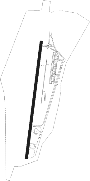
Alpnach
Airport details
| Country | Switzerland |
| State | Obwalden |
| Region | LS |
| Airspace | Switzerland Ctr |
| Municipality | Alpnach |
| Elevation | 1458ft (444m) |
| Timezone | GMT +1 |
| Coordinates | 46.94333, 8.28333 |
| Magnetic var | |
| Type | land |
| Available since | X-Plane v10.32 |
| ICAO code | LSMA |
| IATA code | n/a |
| FAA code | n/a |
Communication
| Alpnach Alpnach Tower | 123.450 |
Nearby Points of Interest:
Pilatus railway
-Stanserhorn-Bahn
-Former barracks Sarnen
-Sarnen
-cantonal library Obwalden
-Doppelhaus Grundacher, Sarnen
-Kloster St. Andreas, Sarnen
-Grosshaus Hofmatt
-Stans
-burial chapel
-Schweizer Schachmuseum
-Fadenbrücke
-Lucerne Central and University Library
-Stadt Luzern
-Unterwalden
-Uri (ship, 1901)
-Gallia
-Schiller
-Staatsarchiv Luzern
-Anderallmend-Haus
-Reussbrücke
-Lucerne
-Gotthardgebäude
-Friedhof Friedental
-Kloster St. Anna
Nearby beacons
| code | identifier | dist | bearing | frequency |
|---|---|---|---|---|
| WIL | WILLISAU VOR/DME | 20.9 | 302° | 116.90 |
| KLO | KLOTEN (ZURICH) VOR/DME | 32.6 | 27° | 114.85 |
| GRE | GRENCHEN VOR/DME | 38.2 | 285° | 115.45 |
| HOC | DME | 40.2 | 310° | 113.20 |
| ZUE | ZURICH EAST VOR/DME | 44.6 | 39° | 110.05 |
| TRA | DME | 45.2 | 12° | 114.30 |
| BS | BASLE-MULHOUSE NDB | 48.8 | 310° | 376 |
| BLM | BASLE-MULHOUSE VOR/DME | 52.2 | 311° | 117.45 |
| BN | BASLE-MULHOUSE NDB | 54.1 | 312° | 353 |
| SIO | SION VOR/DME | 59.9 | 234° | 112.15 |
Disclaimer
The information on this website is not for real aviation. Use this data with the X-Plane flight simulator only! Data taken with kind consent from X-Plane 12 source code and data files. Content is subject to change without notice.
