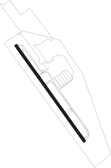
Triengen
Airport details
| Country | Switzerland |
| State | Lucerne |
| Region | LS |
| Airspace | Switzerland Ctr |
| Municipality | Triengen |
| Elevation | 1589ft (484m) |
| Timezone | GMT +1 |
| Coordinates | 47.22667, 8.07806 |
| Magnetic var | |
| Type | land |
| Available since | X-Plane v10.40 |
| ICAO code | LSPN |
| IATA code | n/a |
| FAA code | n/a |
Communication
Nearby Points of Interest:
Sursee
-Wauwilermoos
-Wauwilermoos pile dwelling settlement
-Landessender Beromünster
-Haus zum Dolder, Sammlung Dr. Edmund Müller
-Altishofen
-Beromünster
-villa rustica of Zofingen
-Trostburg castle
-Pulverturm Zofingen
-Klösterli, Zofingen
-Zofingen
-city hall Zofingen
-St. Urban yard
-Stadtbibliothek Zofingen
-city and local archives of Zofingen
-thatched-roof house local museum
-Erlenhölzli; Neolithic lakeside settlement
-former hospital
-Willisau
-Riesi
-under baliff's house
-Kapelle 14 Nothelfer
-roman estate
-Zigiholz, Neolithic burial mound group
Nearby beacons
| code | identifier | dist | bearing | frequency |
|---|---|---|---|---|
| WIL | WILLISAU VOR/DME | 7.6 | 254° | 116.90 |
| HOC | DME | 22.1 | 300° | 113.20 |
| KLO | KLOTEN (ZURICH) VOR/DME | 23.5 | 64° | 114.85 |
| GRE | GRENCHEN VOR/DME | 27 | 266° | 115.45 |
| BS | BASLE-MULHOUSE NDB | 30.5 | 303° | 376 |
| TRA | DME | 31.3 | 38° | 114.30 |
| BLM | BASLE-MULHOUSE VOR/DME | 33.8 | 305° | 117.45 |
| BN | BASLE-MULHOUSE NDB | 35.6 | 306° | 353 |
| ZUE | ZURICH EAST VOR/DME | 37.2 | 64° | 110.05 |
| FRI | FRIBOURG VOR/DME | 44.1 | 242° | 110.85 |
| HO | COLMAR-HOUSSEN NDB | 61.6 | 322° | 380 |
Disclaimer
The information on this website is not for real aviation. Use this data with the X-Plane flight simulator only! Data taken with kind consent from X-Plane 12 source code and data files. Content is subject to change without notice.