Fiesch - Munster
Airport details
| Country | Switzerland |
| State | Wallis |
| Region | LS |
| Airspace | Switzerland Ctr |
| Municipality | Goms |
| Elevation | 4362ft (1330m) |
| Timezone | GMT +1 |
| Coordinates | 46.48028, 8.26333 |
| Magnetic var | |
| Type | land |
| Available since | X-Plane v10.40 |
| ICAO code | LSPU |
| IATA code | n/a |
| FAA code | n/a |
Communication
Nearby Points of Interest:
Furka Cogwheel Steam Railway
-Jungfrau-Aletsch protected area
-Artilleriewerk Foppa Grande
-Gotthard Tunnel
-Reichenbachfall railway
-Chiesa parrocchiale di S. Bernardo e Via Crucis
-Brig-Glis
-Tennlenbrücke über die Furkareuss
-Stechelberg - Schilthorn cable car
-Gamsen wall, medieval dam
-Göschenen
-Sornico
-Tower von Stockalper
-Brienz
-Schule für Holzbildhauerei
-Visp
-Schützenlaube
-In-Albon house
-Altes Spittel
-Pflanzetta
-Wilderswil
-Prato
-Interlaken Abbey
-Interlaken
-Rudenz
Runway info
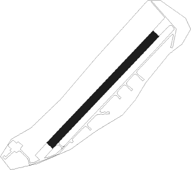
| Runway 05 / 23 | ||
| length | 680m (2231ft) | |
| bearing | 58° / 238° | |
| width | 37m (121ft) | |
| surface | asphalt | |
Nearby beacons
| code | identifier | dist | bearing | frequency |
|---|---|---|---|---|
| SIO | SION VOR/DME | 43.4 | 255° | 112.15 |
| WIL | WILLISAU VOR/DME | 44.4 | 333° | 116.90 |
| SVC | COMAGNE (AOSTA) NDB | 49.6 | 217° | 418 |
| MMP | MALPENSA (MILAN) NDB | 54.1 | 151° | 425 |
| GRE | GRENCHEN VOR/DME | 54.6 | 310° | 115.45 |
| CAM | CAMERI TACAN | 57 | 157° | 115 |
| SCS | AOSTA VOR/DME | 58.5 | 232° | 109.25 |
| SRN | SARONNO NDB | 59.2 | 138° | 330 |
| KLO | KLOTEN (ZURICH) VOR/DME | 59.7 | 16° | 114.85 |
| MAL | MALPENSA (MILAN) NDB | 59.7 | 152° | 364 |
| HOC | DME | 64.1 | 329° | 113.20 |
Disclaimer
The information on this website is not for real aviation. Use this data with the X-Plane flight simulator only! Data taken with kind consent from X-Plane 12 source code and data files. Content is subject to change without notice.