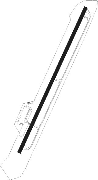
St. Moritz - Samedan
Airport details
| Country | Switzerland |
| State | Grisons |
| Region | LS |
| Airspace | Switzerland Ctr |
| Municipality | Samedan |
| Elevation | 5600ft (1707m) |
| Timezone | GMT +1 |
| Coordinates | 46.53202, 9.88055 |
| Magnetic var | |
| Type | land |
| Available since | X-Plane v10.40 |
| ICAO code | LSZS |
| IATA code | SMV |
| FAA code | n/a |
Communication
| Samedan ATIS | 136.600 |
| Samedan DEL | 121.880 |
| Samedan INFO | 135.325 |
| Samedan RADAR | 133.900 |
Nearby Points of Interest:
Chesa Planta Samedan
-Upper Engadine Cultural Archives
-Lyceum Alpinum Zuoz
-Julier Pass
-Rhaetian Railway in the Albula / Bernina Landscapes
-Bernina railway
-Albula Railway
-Bellaluna
-Province of Sondrio
-Caspoggio
-Gonda
-Palazzo Salis
-Kulthöhle Zillis
-Castasegna
-Andeer
-Chasa Könz, Ardez
-Carschenna
-Villa di Chiavenna
-Sils im Domleschg
-Bormio
-Montagna in Valtellina
-Churwalden Abbey
-Fürstenau
-Sondrio
-Grosio
Nearby beacons
| code | identifier | dist | bearing | frequency |
|---|---|---|---|---|
| CVA | DME | 7.2 | 207° | 112.05 |
| WFJ | DME | 18.5 | 344° | 113.75 |
| BEG | BERGAMO VOR/DME | 52.2 | 191° | 114.95 |
| ORI | ORIO AL SERIO (BERGAMO) NDB | 53.3 | 183° | 376 |
| TZO | TREZZO NDB | 60.4 | 201° | 345 |
| SRN | SARONNO NDB | 64 | 224° | 330 |
| SRN | SARONNO VOR/DME | 64.1 | 224° | 113.70 |
Departure and arrival routes
| SID end points | distance | outbound heading | |
|---|---|---|---|
| RW03 | |||
| RONA1E, RONA1V | 22mi | 57° | |
Instrument approach procedures
| runway | airway (heading) | route (dist, bearing) |
|---|---|---|
| RW03 | PELAD (113°) | PELAD 16000ft ZS700 (11mi, 271°) 13000ft ZS701 (17mi, 156°) 12400ft |
| RNAV | ZS701 12400ft ZS702 (5mi, 75°) 11800ft ZS705 (11mi, 49°) 6598ft ZS706 (5mi, 44°) RONAG (19mi, 58°) 14000ft RONAG (turn) |
Disclaimer
The information on this website is not for real aviation. Use this data with the X-Plane flight simulator only! Data taken with kind consent from X-Plane 12 source code and data files. Content is subject to change without notice.