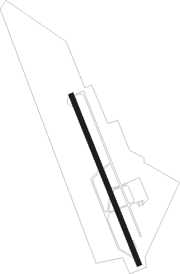
Schaenis
Airport details
| Country | Switzerland |
| State | St. Gallen |
| Region | |
| Airspace | Switzerland Ctr |
| Municipality | Schänis |
| Elevation | 1356ft (413m) |
| Timezone | GMT +1 |
| Coordinates | 47.17388, 9.03856 |
| Magnetic var | |
| Type | land |
| Available since | X-Plane v10.40 |
| ICAO code | LSZX |
| IATA code | n/a |
| FAA code | n/a |
Communication
| Schaenis CTAF | 120.600 |
Nearby Points of Interest:
Maseltrangen
-Schmerikon
-Alte Fabrik Siebnen
-Ebnat-Kappel
-former Benedictine abbey
-Wattwil
-Herrensitz Windegg
-Landesarchiv des Kantons Glarus
-Glarner Landesbibliothek
-Ennetbühl
-Glarus
-Lichtensteig
-Villa Grünfels
-Schloss Meienberg mit Ökonomiegebäuden und Park
-Rapperswil
-Haus zum Alten Sternen
-Capuchin Friary
-Hochschule für Technik Rapperswil
-Rapperswil-Jona–Technikum
-Pfrundhäuser
-Rapperswil Oldtown
-Town walls of Rapperswil
-Bleulerhaus
-Haus Schlossberg
-Freienbach-Hurden-Rosshorn
Nearby beacons
| code | identifier | dist | bearing | frequency |
|---|---|---|---|---|
| KLO | KLOTEN (ZURICH) VOR/DME | 26.3 | 300° | 114.85 |
| ZUE | ZURICH EAST VOR/DME | 26.6 | 332° | 110.05 |
| FHD | DME | 35.1 | 43° | 112.60 |
| WFJ | DME | 37 | 114° | 113.75 |
| TRA | DME | 39.4 | 311° | 114.30 |
| CVA | DME | 55.6 | 134° | 112.05 |
Disclaimer
The information on this website is not for real aviation. Use this data with the X-Plane flight simulator only! Data taken with kind consent from X-Plane 12 source code and data files. Content is subject to change without notice.