Amasya - Merzifon
Airport details
| Country | Turkey |
| State | Amasya Province |
| Region | LT |
| Airspace | Ankara Ctr |
| Municipality | Merzifon |
| Elevation | 1755ft (535m) |
| Timezone | GMT +3 |
| Coordinates | 40.82944, 35.52222 |
| Magnetic var | |
| Type | land |
| Available since | X-Plane v10.40 |
| ICAO code | LTAP |
| IATA code | MZH |
| FAA code | n/a |
Communication
| Merzifon ATIS | 122.425 |
| Merzifon Ground Control | 121.950 |
| Merzifon Tower | 122.100 |
| Merzifon Approach | 122.100 |
Approach frequencies
| ILS-cat-I | RW05R | 110.5 | 18.00mi |
| 3° GS | RW05R | 110.5 | 18.00mi |
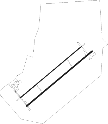
Runway info
Runway 05R / 23L  | ||
| length | 2923m (9590ft) | |
| bearing | 62° / 242° | |
| width | 45m (148ft) | |
| surface | asphalt | |
| blast zone | 255m (837ft) / 150m (492ft) | |
| Runway 05L / 23R | ||
| length | 2738m (8983ft) | |
| bearing | 62° / 242° | |
| width | 23m (75ft) | |
| surface | asphalt | |
| blast zone | 150m (492ft) / 150m (492ft) | |
Nearby beacons
| code | identifier | dist | bearing | frequency |
|---|---|---|---|---|
| MNI | MERZIFON NDB | 0.6 | 229° | 440 |
| TKT | TOKAT NDB | 49.7 | 121° | 403 |
Departure and arrival routes
| Transition altitude | 10000ft |
| SID end points | distance | outbound heading | |
|---|---|---|---|
| RW05L | |||
| HAVZ1N, HAVZ1M | 24mi | 57° | |
| ERGU1N, ERGU1M | 36mi | 264° | |
| RW05R | |||
| HAVZ1D, HAVZ1C | 24mi | 57° | |
| ERGU1D, ERGU1C | 36mi | 264° | |
| RW23L | |||
| HAVZ1K, HAVZ1E | 24mi | 57° | |
| ERGU1K, ERGU1E | 36mi | 264° | |
| RW23R | |||
| HAVZ1P, HAVZ1S | 24mi | 57° | |
| ERGU1P, ERGU1S | 36mi | 264° | |
| STAR starting points | distance | inbound heading | |
|---|---|---|---|
| ALL | |||
| ERGU1A, ERGU1B | 35.9 | 84° | |
| HAVZ1A, HAVZ1B | 24.2 | 237° | |
| RW05R | |||
| ERGU1F | 35.9 | 84° | |
Holding patterns
| STAR name | hold at | type | turn | heading* | altitude | leg | speed limit |
|---|---|---|---|---|---|---|---|
| AKED1A | MNI | NDB | right | 49 (229)° | > 9000ft | 1.0min timed | 230 |
| AKED1B | MNI | NDB | right | 49 (229)° | > 9000ft | 1.0min timed | 230 |
| ERGU1A | MNI | NDB | right | 49 (229)° | > 9000ft | 1.0min timed | 230 |
| ERGU1B | MNI | NDB | right | 49 (229)° | > 9000ft | 1.0min timed | 230 |
| ERGU1F | AP612 | VHF | right | 229 (49)° | > 7500ft | 1.0min timed | ICAO rules |
| HAVZ1A | MNI | NDB | right | 49 (229)° | > 9000ft | 1.0min timed | 230 |
| HAVZ1B | MNI | NDB | right | 49 (229)° | > 9000ft | 1.0min timed | 230 |
| *) magnetic outbound (inbound) holding course | |||||||
Disclaimer
The information on this website is not for real aviation. Use this data with the X-Plane flight simulator only! Data taken with kind consent from X-Plane 12 source code and data files. Content is subject to change without notice.