Bursa
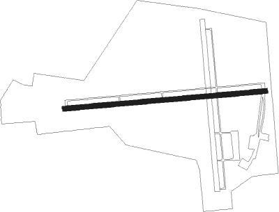
Airport details
| Country | Turkey |
| State | Bursa Province |
| Region | |
| Airspace | Istanbul Ctr |
| Municipality | Bursa |
| Elevation | 0ft (0m) |
| Timezone | GMT +3 |
| Coordinates | 40.23468, 29.00913 |
| Magnetic var | |
| Type | land |
| Available since | X-Plane v10.40 |
| ICAO code | LTBE |
| IATA code | BTZ |
| FAA code | n/a |
Communication
Nearby Points of Interest:
Hüdavendigar Complex
-Bursa and Cumalıkızık: the Birth of the Ottoman Empire
-Complex of Mehmed I
-Lake Uluabat
Nearby beacons
| code | identifier | dist | bearing | frequency |
|---|---|---|---|---|
| YAA | YALOVA VOR/DME | 17 | 40° | 117.70 |
| YEN | YENISEHIR TACAN | 25.4 | 88° | 113.20 |
| BRY | YENISEHIR NDB | 26.8 | 87° | 352 |
| SAB | SABIHA NDB | 43 | 26° | 347 |
| SBH | SABIHA (ISTANBUL) VOR/DME | 43 | 26° | 108.80 |
| IST | ISTANBUL VORTAC | 44.5 | 345° | 112.50 |
| ST | ATATURK (ISTANBUL) NDB | 44.7 | 344° | 340 |
| CEK | CEKMECE NDB | 51.2 | 328° | 328 |
| BKZ | BEYKOZ VOR/DME | 53.9 | 9° | 117.30 |
Disclaimer
The information on this website is not for real aviation. Use this data with the X-Plane flight simulator only! Data taken with kind consent from X-Plane 12 source code and data files. Content is subject to change without notice.