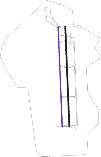
Balikesir Ab
Airport details
| Country | Turkey |
| State | Balıkesir Province |
| Region | LT |
| Airspace | Istanbul Ctr |
| Municipality | Altıeylül |
| Elevation | 337ft (103m) |
| Timezone | GMT +3 |
| Coordinates | 39.61555, 27.93278 |
| Magnetic var | |
| Type | land |
| Available since | X-Plane v10.32 |
| ICAO code | LTBF |
| IATA code | BZI |
| FAA code | n/a |
Communication
| Balikesir AB INFO | 123.925 |
| Balikesir AB Tower | 122.100 |
| Balikesir AB Approach | 122.100 |
Approach frequencies
| ILS-cat-I | RW36R | 111.75 | 18.00mi |
| 3° GS | RW36R | 111.75 | 18.00mi |
Nearby beacons
| code | identifier | dist | bearing | frequency |
|---|---|---|---|---|
| BRI | BALIKESIR NDB | 0.9 | 346° | 470 |
| BDM | BANDIRMA TACAN | 42.1 | 4° | 111 |
| EDR | EDREMIT NDB | 43.1 | 266° | 368 |
| BIG | BIGA VOR/DME | 47.9 | 320° | 116.90 |
| AKI | AKHISAR TACAN | 48 | 188° | 110.20 |
Departure and arrival routes
| Transition altitude | 10000ft |
| SID end points | distance | outbound heading | |
|---|---|---|---|
| RW18L | |||
| OVAC1A | 57mi | 82° | |
| ESKI1A | 40mi | 141° | |
| DUGL1A | 34mi | 261° | |
| KONE1A | 32mi | 287° | |
| RW36R | |||
| OVAC1B | 57mi | 82° | |
| ESKI1B | 40mi | 141° | |
| DUGL1B | 34mi | 261° | |
| KONE1B | 32mi | 287° | |
Disclaimer
The information on this website is not for real aviation. Use this data with the X-Plane flight simulator only! Data taken with kind consent from X-Plane 12 source code and data files. Content is subject to change without notice.

