Cigli Ab
Airport details
| Country | Turkey |
| State | İzmir Province |
| Region | LT |
| Airspace | Istanbul Ctr |
| Municipality | Çiğli |
| Elevation | 16ft (5m) |
| Timezone | GMT +3 |
| Coordinates | 38.52667, 27.01000 |
| Magnetic var | |
| Type | land |
| Available since | X-Plane v10.40 |
| ICAO code | LTBL |
| IATA code | IGL |
| FAA code | n/a |
Communication
| Cigli AB ATIS | 122.425 |
| Cigli AB Ground Control | 121.950 |
| Cigli AB Tower | 122.100 |
| Cigli AB MENDERES Approach | 120.100 |
| Cigli AB MENDERES Approach | 129.300 |
| Cigli AB MENDERES Approach | 132.900 |
Approach frequencies
| ILS-cat-I | RW17 | 108.15 | 18.00mi |
| 3° GS | RW17 | 108.15 | 18.00mi |
Nearby Points of Interest:
Gediz Delta
-Foça
-Karaburun Peninsula
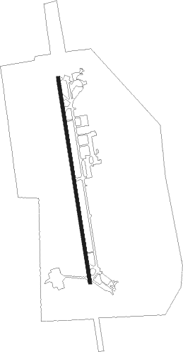
Runway info
| Runway 17 / 35 | ||
| length | 2999m (9839ft) | |
| bearing | 174° / 354° | |
| width | 45m (147ft) | |
| surface | asphalt | |
| blast zone | 255m (837ft) / 243m (797ft) | |
Nearby beacons
| code | identifier | dist | bearing | frequency |
|---|---|---|---|---|
| CIG | CIGLI (IZMIR) NDB | 0.3 | 108° | 363 |
| KLC | KAKLIC TACAN | 1.4 | 260° | 114.15 |
| CIG | CIGLI (IZMIR) TACAN | 1.9 | 182° | 113.60 |
| IMR | IZMIR VOR/DME | 12.5 | 181° | 113.70 |
| MEN | MENDERES (IZMIR) VOR/DME | 15.5 | 147° | 117.90 |
| EN | ADNAN MENDERES (IZMIR) NDB | 17 | 149° | 315 |
| ME | ADNAN MENDERES (IZMIR) NDB | 21.4 | 152° | 405 |
| LVO | MITILINI NDB | 36.6 | 322° | 397 |
| MLN | MITILINI VOR/DME | 37.1 | 322° | 109.60 |
| SEL | SELCUK-EFES NDB | 37.9 | 151° | 424 |
| AKI | AKHISAR TACAN | 42.1 | 70° | 110.20 |
| HOS | CHIOS VOR/DME | 42.1 | 258° | 110.80 |
| HIO | CHIOS NDB | 42.3 | 258° | 299 |
| LSV | LESVOS VOR/DME | 50.3 | 320° | 114.20 |
| SAM | SAMOS VOR/DME | 50.6 | 187° | 111.60 |
| SMO | SAMOS NDB | 50.7 | 186° | 375 |
| CLD | CILDIR (AYDIN) NDB | 59.3 | 129° | 480 |
| IKA | IKARIA NDB | 59.6 | 218° | 322 |
| CLD | CILDIR (AYDIN) VOR/DME | 59.8 | 129° | 113.85 |
Instrument approach procedures
| runway | airway (heading) | route (dist, bearing) |
|---|---|---|
| RW17 | KULEL (174°) | KULEL BL037 (3mi, 174°) 4100ft BL038 (3mi, 174°) 3200ft ULSAT (3mi, 174°) 2300ft |
| RNAV | ULSAT 2300ft BL039 (4mi, 174°) 1180ft LTBL (3mi, 173°) 73ft BL235 (4mi, 175°) BL260 (5mi, 251°) ORFOZ (7mi, 275°) 4000ft ORFOZ (turn) 4000ft |
Disclaimer
The information on this website is not for real aviation. Use this data with the X-Plane flight simulator only! Data taken with kind consent from X-Plane 12 source code and data files. Content is subject to change without notice.