Isparta
Airport details
| Country | Turkey |
| State | Isparta Province |
| Region | |
| Airspace | Ankara Ctr |
| Municipality | Isparta |
| Elevation | 3250ft (991m) |
| Timezone | GMT +3 |
| Coordinates | 37.78911, 30.58725 |
| Magnetic var | |
| Type | land |
| Available since | X-Plane v10.40 |
| ICAO code | LTBM |
| IATA code | n/a |
| FAA code | n/a |
Communication
Nearby Points of Interest:
Lake Eğirdir
-Lake Burdur
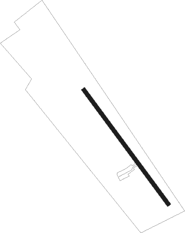
Runway info
| Runway 14 / 32 | ||
| length | 1002m (3287ft) | |
| bearing | 142° / 322° | |
| width | 29m (95ft) | |
| surface | asphalt | |
| blast zone | 30m (98ft) / 30m (98ft) | |
Nearby beacons
| code | identifier | dist | bearing | frequency |
|---|---|---|---|---|
| IPT | ISPARTA NDB | 11.9 | 282° | 349 |
| CRD | CARDAK NDB | 41.9 | 270° | 433 |
| AYT | ANTALYA VOR/DME | 53 | 167° | 114 |
| LRA | LARA (ANTALYA) VOR/DME | 53.4 | 166° | 116.15 |
| GEY | ANTALYA NDB | 55.4 | 188° | 413 |
| ANT | DME-ILS | 55.6 | 168° | 109.10 |
| YT | ANTALYA NDB | 55.6 | 168° | 302 |
| RA | LARA (ANTALYA) NDB | 56 | 167° | 329 |
Disclaimer
The information on this website is not for real aviation. Use this data with the X-Plane flight simulator only! Data taken with kind consent from X-Plane 12 source code and data files. Content is subject to change without notice.