Kütahya - Kutahya
Airport details
| Country | Turkey |
| State | Kütahya Province |
| Region | LT |
| Airspace | Istanbul Ctr |
| Municipality | Kütahya Merkez |
| Elevation | 3024ft (922m) |
| Timezone | GMT +3 |
| Coordinates | 39.42667, 30.01694 |
| Magnetic var | |
| Type | land |
| Available since | X-Plane v10.40 |
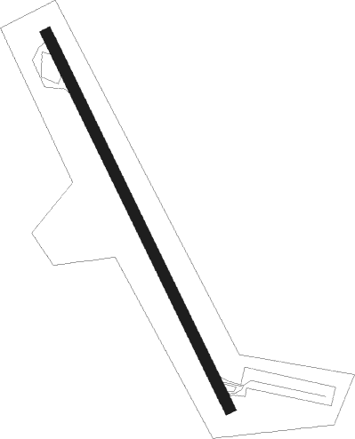
| ICAO code | LTBN |
| IATA code | n/a |
| FAA code | n/a |
Communication
| Kutahya Tower | 122.100 |
Nearby Points of Interest:
Odunpazarı
Nearby beacons
| code | identifier | dist | bearing | frequency |
|---|---|---|---|---|
| KUT | KUTAHYA TACAN | 0.2 | 309° | 113.40 |
| KTH | ZAFER NDB | 19.9 | 160° | 336 |
| ESR | ESKISEHIR NDB | 32.6 | 52° | 372 |
| ESK | ESKISEHIR TACAN | 34.6 | 59° | 114.40 |
| KFK | AFYON NDB | 44.8 | 140° | 324 |
| USK | USAK NDB | 51.2 | 216° | 414 |
| BRY | YENISEHIR NDB | 53.8 | 333° | 352 |
| YEN | YENISEHIR TACAN | 54.1 | 331° | 113.20 |
Disclaimer
The information on this website is not for real aviation. Use this data with the X-Plane flight simulator only! Data taken with kind consent from X-Plane 12 source code and data files. Content is subject to change without notice.