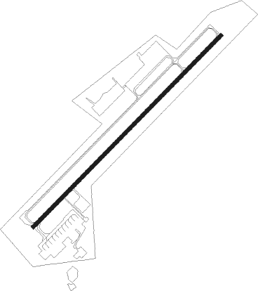
Çorlu - Corlu Ab
Airport details
| Country | Turkey |
| State | Tekirdağ Province |
| Region | LT |
| Airspace | Istanbul Ctr |
| Municipality | Önerler Mahallesi |
| Elevation | 537ft (164m) |
| Timezone | GMT +3 |
| Coordinates | 41.12944, 27.90639 |
| Magnetic var | |
| Type | land |
| Available since | X-Plane v10.40 |
| ICAO code | LTBU |
| IATA code | TEQ |
| FAA code | n/a |
Communication
| Corlu AB Ground Control | 121.900 |
| Corlu AB Tower | 120.375 |
| Corlu AB Tower | 122.100 |
Approach frequencies
| ILS-cat-I | RW04 | 110.5 | 18.00mi |
| 3° GS | RW04 | 110.5 | 18.00mi |
Nearby beacons
| code | identifier | dist | bearing | frequency |
|---|---|---|---|---|
| CRL | CORLU NDB | 0.2 | 63° | 426 |
| CLU | CORLU TACAN | 1.3 | 50° | 115.90 |
| CRL | CORLU VOR/DME | 1.8 | 53° | 114.80 |
| EKI | TEKIRDAG NDB | 24.2 | 250° | 317 |
| CEK | CEKMECE NDB | 29.1 | 101° | 328 |
| UHL | UHL VOR/DME | 37.8 | 77° | 110 |
| UHM | UHM VOR/DME | 38.5 | 78° | 108.25 |
| UHN | UHN VOR/DME | 39.8 | 78° | 109.85 |
| ST | ATATURK (ISTANBUL) NDB | 41.8 | 101° | 340 |
| IST | ISTANBUL VORTAC | 42.1 | 101° | 112.50 |
| BDM | BANDIRMA TACAN | 48.9 | 175° | 111 |
| BIG | BIGA VOR/DME | 56.4 | 213° | 116.90 |
Departure and arrival routes
| Transition altitude | 10000ft |
| SID end points | distance | outbound heading | |
|---|---|---|---|
| RW04 | |||
| FENE1R | 22mi | 71° | |
| BKZ1M | 56mi | 90° | |
| IST1R | 42mi | 101° | |
| EKI1R, EKI1M | 24mi | 250° | |
| AFGA1M | 20mi | 343° | |
| RW22 | |||
| FENE1Q | 22mi | 71° | |
| BKZ1U | 56mi | 90° | |
| IST1Q | 42mi | 101° | |
| YAA1Q | 71mi | 117° | |
| EKI1Q, EKI1U | 24mi | 250° | |
| AFGA1U | 20mi | 343° | |
| STAR starting points | distance | inbound heading | |
|---|---|---|---|
| ALL | |||
| EKI1E | 24.2 | 70° | |
| ULMA1E | 32.8 | 96° | |
| RW04 | |||
| EKI1K | 24.2 | 70° | |
| GINL1K | 59.2 | 229° | |
| BKZ1K | 55.9 | 270° | |
| RW22 | |||
| EKI1T | 24.2 | 70° | |
| GINL1T | 59.2 | 229° | |
| BKZ1T | 55.9 | 270° | |
Disclaimer
The information on this website is not for real aviation. Use this data with the X-Plane flight simulator only! Data taken with kind consent from X-Plane 12 source code and data files. Content is subject to change without notice.
