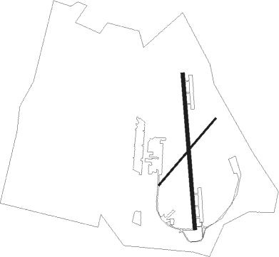
Ümraniye - Samandira
Airport details
| Country | Turkey |
| State | İstanbul Province |
| Region | LT |
| Airspace | Istanbul Ctr |
| Municipality | Sancaktepe |
| Elevation | 397ft (121m) |
| Timezone | GMT +3 |
| Coordinates | 40.99055, 29.21611 |
| Magnetic var | |
| Type | land |
| Available since | X-Plane v10.40 |
| ICAO code | LTBX |
| IATA code | n/a |
| FAA code | n/a |
Communication
| Samandira Tower | 126.000 |
Nearby Points of Interest:
Princes' Islands
-Bosporus
-Historic Areas of Istanbul
-Runic inscriptions in Hagia Sophia

Nearby beacons
| code | identifier | dist | bearing | frequency |
|---|---|---|---|---|
| SAB | SABIHA NDB | 7.2 | 125° | 347 |
| SBH | SABIHA (ISTANBUL) VOR/DME | 7.2 | 125° | 108.80 |
| BKZ | BEYKOZ VOR/DME | 8.8 | 332° | 117.30 |
| IST | ISTANBUL VORTAC | 18.4 | 266° | 112.50 |
| ST | ATATURK (ISTANBUL) NDB | 18.7 | 266° | 340 |
| UHN | UHN VOR/DME | 28.3 | 305° | 109.85 |
| UHM | UHM VOR/DME | 29.3 | 303° | 108.25 |
| UHL | UHL VOR/DME | 30 | 302° | 110 |
| YAA | YALOVA VOR/DME | 30.9 | 181° | 117.70 |
| CEK | CEKMECE NDB | 31.1 | 271° | 328 |
| ARF | CENGIZ TOPEL TACAN | 41.4 | 107° | 113.90 |
| CTP | CENGIZ TOPEL (KOCAELI) NDB | 41.7 | 106° | 307 |
| ARF | CENGIZ TOPEL NDB | 42.5 | 107° | 383 |
| YEN | YENISEHIR TACAN | 46.7 | 155° | 113.20 |
| BRY | YENISEHIR NDB | 46.9 | 153° | 352 |
Disclaimer
The information on this website is not for real aviation. Use this data with the X-Plane flight simulator only! Data taken with kind consent from X-Plane 12 source code and data files. Content is subject to change without notice.