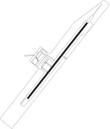
Hatay
Airport details
| Country | Turkey |
| State | Hatay Province |
| Region | LT |
| Airspace | Ankara Ctr |
| Municipality | Hatay |
| Elevation | 270ft (82m) |
| Timezone | GMT +3 |
| Coordinates | 36.37222, 36.29861 |
| Magnetic var | |
| Type | land |
| Available since | X-Plane v10.40 |
| ICAO code | LTDA |
| IATA code | HTY |
| FAA code | n/a |
Communication
| Hatay ATIS | 127.400 |
| Hatay Ground Control | 122.000 |
| Hatay Tower | 121.700 |
| Hatay Approach | 128.525 |
Approach frequencies
| ILS-cat-I | RW04 | 108.9 | 18.00mi |
| 3.3° GS | RW04 | 108.9 | 18.00mi |
Nearby beacons
| code | identifier | dist | bearing | frequency |
|---|---|---|---|---|
| HTY | HATAY NDB | 0.6 | 222° | 336 |
| ALE | ALEPPO VOR/DME | 45.5 | 102° | 114.50 |
| ALE | ALEPPO NDB | 46.1 | 101° | 396 |
| DAN | INCIRLIK TACAN | 56.3 | 307° | 108.40 |
| LTK | LATAKIA NDB | 56.3 | 202° | 414 |
| LTK | LATAKIA VOR/DME | 60.9 | 200° | 114.80 |
Departure and arrival routes
| Transition altitude | 10000ft |
| SID end points | distance | outbound heading | |
|---|---|---|---|
| RW04 | |||
| MILB1A, MILB1C | 36mi | 17° | |
| RW22 | |||
| MILB1B, MILB1D | 36mi | 17° | |
| STAR starting points | distance | inbound heading | |
|---|---|---|---|
| ALL | |||
| MILB1E | 35.8 | 197° | |
Disclaimer
The information on this website is not for real aviation. Use this data with the X-Plane flight simulator only! Data taken with kind consent from X-Plane 12 source code and data files. Content is subject to change without notice.
