Kaklic Ab
Airport details
| Country | Turkey |
| State | İzmir Province |
| Region | LT |
| Airspace | Istanbul Ctr |
| Municipality | Çiğli |
| Elevation | 13ft (4m) |
| Timezone | GMT +3 |
| Coordinates | 38.50940, 26.97337 |
| Magnetic var | |
| Type | land |
| Available since | X-Plane v10.40 |
| ICAO code | LTFA |
| IATA code | n/a |
| FAA code | n/a |
Communication
| Kaklic AB Ground Control | 121.950 |
| Kaklic AB Tower | 122.100 |
| Kaklic AB MENDERES Approach | 132.900 |
| Kaklic AB MENDERES Approach | 120.100 |
Approach frequencies
| ILS-cat-I | RW17 | 110.15 | 18.00mi |
| 3° GS | RW17 | 110.15 | 18.00mi |
Nearby Points of Interest:
Gediz Delta
-Foça
-Karaburun Peninsula
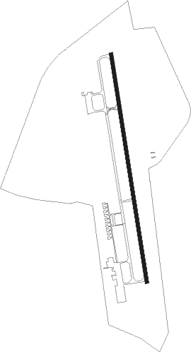
Runway info
| Runway 17 / 35 | ||
| length | 3010m (9875ft) | |
| bearing | 174° / 354° | |
| width | 45m (148ft) | |
| surface | asphalt | |
| blast zone | 255m (837ft) / 255m (837ft) | |
Nearby beacons
| code | identifier | dist | bearing | frequency |
|---|---|---|---|---|
| KLC | KAKLIC TACAN | 0.7 | 26° | 114.15 |
| CIG | CIGLI (IZMIR) TACAN | 1.8 | 112° | 113.60 |
| CIG | CIGLI (IZMIR) NDB | 2.2 | 71° | 363 |
| IMR | IZMIR VOR/DME | 11.6 | 170° | 113.70 |
| MEN | MENDERES (IZMIR) VOR/DME | 15.5 | 139° | 117.90 |
| EN | ADNAN MENDERES (IZMIR) NDB | 16.9 | 142° | 315 |
| ME | ADNAN MENDERES (IZMIR) NDB | 21.2 | 146° | 405 |
| LVO | MITILINI NDB | 36.7 | 326° | 397 |
| MLN | MITILINI VOR/DME | 37.2 | 326° | 109.60 |
| SEL | SELCUK-EFES NDB | 37.7 | 147° | 424 |
| HOS | CHIOS VOR/DME | 40.2 | 259° | 110.80 |
| HIO | CHIOS NDB | 40.4 | 258° | 299 |
| AKI | AKHISAR TACAN | 44.1 | 70° | 110.20 |
| SAM | SAMOS VOR/DME | 49.5 | 185° | 111.60 |
| SMO | SAMOS NDB | 49.5 | 184° | 375 |
| LSV | LESVOS VOR/DME | 50.3 | 323° | 114.20 |
| IKA | IKARIA NDB | 57.8 | 217° | 322 |
| CLD | CILDIR (AYDIN) NDB | 59.8 | 127° | 480 |
| CLD | CILDIR (AYDIN) VOR/DME | 60.3 | 127° | 113.85 |
Disclaimer
The information on this website is not for real aviation. Use this data with the X-Plane flight simulator only! Data taken with kind consent from X-Plane 12 source code and data files. Content is subject to change without notice.