Cahul
Airport details
| Country | Moldova |
| State | Bălţi |
| Region | LU |
| Airspace | Chisinau Ctr |
| Municipality | Cahul District |
| Elevation | 645ft (197m) |
| Timezone | GMT +2 |
| Coordinates | 45.84378, 28.26366 |
| Magnetic var | |
| Type | land |
| Available since | X-Plane v11.55 |
| ICAO code | LUCH |
| IATA code | n/a |
| FAA code | n/a |
Communication
Nearby Points of Interest:
Lakes of the Lower Prut
-Fossil site near Moscovei
-Budăi ravine
-Musaitu ravine
-Tartaul ravine
-Baurci
-Outcrop near Văleni
-Liceul Bolgrad
-Outcrop near Taraclia
-Ciobalaccia
-Cîietu
-Cișmichioi ravine
-Inzov mausoleum
-Chioselia
-Outcrop of Etulia clay
-Baurci outcrop
-Saint Demetrius of Thessaloniki church in Krynychne
-Cantemir
-Ravines of Ceadîr-Lunga
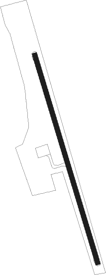
Runway info
| Runway 16 / 34 | ||
| length | 1703m (5587ft) | |
| bearing | 163° / 343° | |
| width | 38m (125ft) | |
| surface | concrete | |
Nearby beacons
| code | identifier | dist | bearing | frequency |
|---|---|---|---|---|
| GLT | GALATI VOR/DME | 29.2 | 218° | 108.20 |
| TLA | TULCEA VOR/DME | 49.6 | 150° | 114.80 |
Disclaimer
The information on this website is not for real aviation. Use this data with the X-Plane flight simulator only! Data taken with kind consent from X-Plane 12 source code and data files. Content is subject to change without notice.