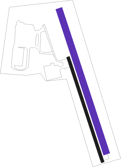
Košice - Bidovce
Airport details
| Country | Slovakia |
| State | Region of Košice |
| Region | |
| Airspace | Bratislava Ctr |
| Municipality | Bidovce |
| Elevation | 981ft (299m) |
| Timezone | GMT +1 |
| Coordinates | 48.74616, 21.44745 |
| Magnetic var | |
| Type | land |
| Available since | X-Plane v10.40 |
| ICAO code | LZBD |
| IATA code | n/a |
| FAA code | n/a |
Communication
| Bidovce TRAFFIC | 122.200 |
Nearby Points of Interest:
Apartment block in Štefánikova, Podtatranského and Stará baštová Street
-Košice Town Hall
-The building of the Constitutional Court of the Slovak Republic
-General Post office building in Košice
-Church of St. Joseph (Prešov)
-All Saints Church, Medzany
-Church in Šarišské Michaľany
-Castle (Borša)
-Latorica Protected Landscape Area

Nearby beacons
| code | identifier | dist | bearing | frequency |
|---|---|---|---|---|
| KSC | KOSICE VOR/DME | 8.7 | 252° | 108.20 |
| DUB | DME | 10.6 | 5° | 108.65 |
| KE | KOSICE NDB | 13.2 | 236° | 425 |
| UO | UZHHOROD NDB | 32.9 | 98° | 645 |
| UZH | DME | 32.9 | 98° | 115.65 |
| KTN | DME | 45.4 | 302° | 114.10 |
| PQ | NYIREGYHAZA NDB | 45.7 | 162° | 522 |
| NYR | NYIREGYHAZA VOR/DME | 46.3 | 162° | 116.10 |
| Y | NYIREGYHAZA 36 NDB | 47.7 | 163° | 346 |
| SAG | SAJOHIDVEG VOR/DME | 47.8 | 211° | 114.40 |
| NY | NYIREGYHAZA 36 NDB | 51 | 164° | 330 |
Disclaimer
The information on this website is not for real aviation. Use this data with the X-Plane flight simulator only! Data taken with kind consent from X-Plane 12 source code and data files. Content is subject to change without notice.