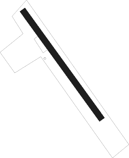
Šurany - Surany
Airport details
| Country | Slovakia |
| State | Region of Nitra |
| Region | |
| Airspace | Bratislava Ctr |
| Municipality | Šurany |
| Elevation | 394ft (120m) |
| Timezone | GMT +1 |
| Coordinates | 48.07830, 18.11164 |
| Magnetic var | |
| Type | land |
| Available since | X-Plane v10.40 |
| ICAO code | LZSY |
| IATA code | n/a |
| FAA code | n/a |
Communication
| Surany AIRPORT | 123.550 |
Nearby beacons
| code | identifier | dist | bearing | frequency |
|---|---|---|---|---|
| NIT | NITRA VOR/DME | 12.9 | 344° | 116.50 |
| JAN | JANOVCE VOR/DME | 23.5 | 280° | 110.80 |
| GYR | GYOR VOR/DME | 29.6 | 223° | 115.10 |
| OB | STEFANIK SOUTH NDB | 32.6 | 273° | 330 |
| PNY | CENTR (PIESTANY) NDB | 33.8 | 331° | 297 |
| OKR | STEFANIK NORTH NDB | 34 | 280° | 391 |
| B | BARKA (BRATISLAVA) NDB | 35.1 | 275° | 438 |
| CP | PAPA NDB | 47.7 | 223° | 318 |
| C | PAPA NDB | 48.7 | 222° | 493 |
| PCT | PAPA VORTAC | 48.7 | 222° | 114.75 |
| P | PAPA NDB | 50.3 | 219° | 493 |
| PC | PAPA NDB | 51.4 | 218° | 318 |
| PTB | PUSZTASZABOLCS VOR/DME | 61.1 | 146° | 117.10 |
| KNE | KUNOVICE NDB | 63.7 | 326° | 434 |
Disclaimer
The information on this website is not for real aviation. Use this data with the X-Plane flight simulator only! Data taken with kind consent from X-Plane 12 source code and data files. Content is subject to change without notice.