Newport - Newport Rgnl
Airport details
| Country | United States of America |
| State | Arkansas |
| Region | K4 |
| Airspace | Memphis Ctr |
| Municipality | Newport |
| Elevation | 237ft (72m) |
| Timezone | GMT -6 |
| Coordinates | 35.63772, -91.17639 |
| Magnetic var | |
| Type | land |
| Available since | X-Plane v10.40 |
| ICAO code | M19 |
| IATA code | n/a |
| FAA code | n/a |
Communication
| Newport Rgnl ASOS | 118.150 |
| Newport Rgnl CTAF/UNICOM | 122.800 |
Nearby Points of Interest:
Newport American Legion Community Hut
-Empie-Van Dyke House
-Erwin Auxiliary Army Airfield
-Gregg House
-Jackson County Jail
-Newport station
-Arkansas Bank & Trust Company
-Jackson County Courthouse
-Newport Bridge
-Weldon Gin Company Historic District
-Hulsey Bend School
-Dearing House
-Thida Grove School
-Miller Creek Bridge
-Big Bottom Slough Bridge
-Walnut Grove Cemetery
-Cedar Creek Bridge
-Fitzhugh Snapp Company
-Cremane House
-Bradford Public Library
-Ward-Stout House
-U.L. Hickmon Hardware Store
-Dr. Lovell House
-Dr. Frizell House
-Marshall Hickmon Homestead
Runway info
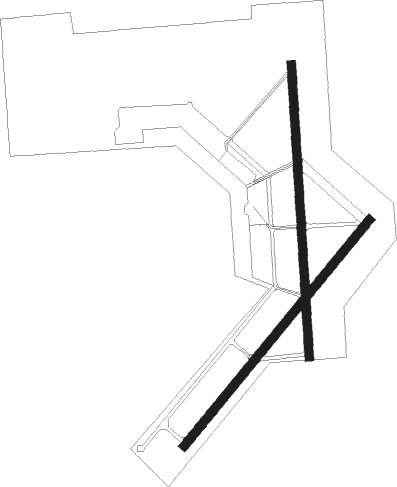
Runway 4 / 22  | ||
| length | 1526m (5007ft) | |
| bearing | 50° / 230° | |
| width | 46m (150ft) | |
| surface | concrete | |
| Runway 18 / 36 | ||
| length | 1526m (5007ft) | |
| bearing | 181° / 1° | |
| width | 46m (150ft) | |
| surface | concrete | |
Nearby beacons
| code | identifier | dist | bearing | frequency |
|---|---|---|---|---|
| ARG | WALNUT RIDGE VORTAC | 30.3 | 25° | 114.50 |
| BV | ALMND (BATESVILLE) NDB | 30.5 | 276° | 335 |
| JBR | JONESBORO VOR/DME | 31.9 | 68° | 108.60 |
| TNZ | LAWRENCE COUNTY (WALNUT RIDGE) NDB | 36.3 | 24° | 227 |
| GQE | GILMORE VOR/DME | 38.3 | 113° | 113 |
| DS | CERCY (SEARCY) NDB | 42.1 | 229° | 375 |
| LRF | JACKSONVILLE TACAN | 64.6 | 234° | 109.20 |
Instrument approach procedures
| runway | airway (heading) | route (dist, bearing) |
|---|---|---|
| RW18 | NEKLY (181°) | NEKLY 3000ft |
| RNAV | NEKLY 3000ft SEDBY (8mi, 181°) 1800ft M19 (5mi, 182°) 282ft VURHU (15mi, 181°) 3000ft VURHU (turn) | |
| RW36 | HILLE (352°) | HILLE VURHU (17mi, 344°) 3000ft |
| RW36 | VURHU (1°) | VURHU 3000ft |
| RNAV | VURHU 3000ft JOHRU (10mi, 1°) 2000ft M19 (6mi, 1°) 283ft NEKLY (13mi, 1°) 3000ft NEKLY (turn) |
Disclaimer
The information on this website is not for real aviation. Use this data with the X-Plane flight simulator only! Data taken with kind consent from X-Plane 12 source code and data files. Content is subject to change without notice.