Prentiss - Prentiss Jefferson Davis Co
Airport details
| Country | United States of America |
| State | Mississippi |
| Region | K7 |
| Airspace | Houston Oceanic Ctr |
| Municipality | Jefferson Davis County |
| Elevation | 454ft (138m) |
| Timezone | GMT -6 |
| Coordinates | 31.59531, -89.90644 |
| Magnetic var | |
| Type | land |
| Available since | X-Plane v11.50 |
| ICAO code | M43 |
| IATA code | n/a |
| FAA code | n/a |
Communication
| Prentiss Jefferson Davis Co AWOS 3 | 128.325 |
| Prentiss Jefferson Davis Co UNICOM | 122.800 |
Nearby Points of Interest:
Jefferson Davis County Courthouse
-Lawrence County Courthouse
-Covington County Courthouse
-Mississippi Mills Packing and Shipping Rooms
-Longleaf Trace
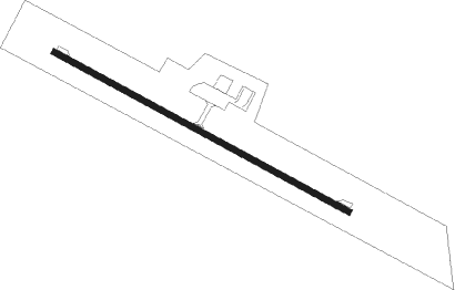
Runway info
| Runway 12 / 30 | ||
| length | 975m (3199ft) | |
| bearing | 119° / 299° | |
| width | 18m (60ft) | |
| surface | asphalt | |
Nearby beacons
| code | identifier | dist | bearing | frequency |
|---|---|---|---|---|
| MCB | MC COMB VORTAC | 25 | 230° | 116.70 |
| LBY | EATON (HATTIESBURG) VORTAC | 30.9 | 107° | 110.60 |
| MC | FERNI (MCCOMB) NDB | 37.1 | 241° | 413 |
| GVB | BOGALUSA NDB | 42.9 | 176° | 353 |
| JA | ALLEN (JACKSON) NDB | 50.2 | 345° | 365 |
| MHZ | MAGNOLIA (MADISON) VORTAC | 51.3 | 347° | 113.20 |
| JH | BRENZ (JACKSON) NDB | 52.3 | 337° | 260 |
| HP | ANGER (HAMMOND) NDB | 65 | 207° | 212 |
Instrument approach procedures
| runway | airway (heading) | route (dist, bearing) |
|---|---|---|
| RW12 | CESMA (119°) | CESMA 2000ft |
| RNAV | CESMA 2000ft OVIGE (7mi, 119°) 2000ft M43 (5mi, 119°) 485ft (5400mi, 109°) 770ft DADCA (5390mi, 289°) 2000ft DADCA (turn) | |
| RW30 | DADCA (299°) | DADCA 2000ft |
| RNAV | DADCA 2000ft BISYA (7mi, 299°) 2000ft M43 (5mi, 299°) 484ft (5400mi, 109°) 769ft CESMA (5411mi, 289°) 2000ft CESMA (turn) |
Disclaimer
The information on this website is not for real aviation. Use this data with the X-Plane flight simulator only! Data taken with kind consent from X-Plane 12 source code and data files. Content is subject to change without notice.