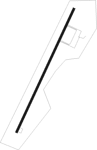
Houston - Houston Muni
Airport details
| Country | United States of America |
| State | Mississippi |
| Region | K7 |
| Airspace | Memphis Ctr |
| Municipality | Houston |
| Elevation | 335ft (102m) |
| Timezone | GMT -6 |
| Coordinates | 33.88649, -89.02298 |
| Magnetic var | |
| Type | land |
| Available since | X-Plane v10.40 |
| ICAO code | M44 |
| IATA code | n/a |
| FAA code | n/a |
Communication
| Houston Muni CTAF | 122.900 |
Nearby Points of Interest:
Houston Carnegie Library
-Judge Bates House
-Bynum Mound and Village Site
-Reuben Davis House
-West Commerce Street Historic District
-Aberdeen City Hall
-United States Courthouse and Post Office
-John Holliday House
-North Broadway Historic District
-Tombigbee State Park
-Waverley
-Cox-Uithoven House
Nearby beacons
| code | identifier | dist | bearing | frequency |
|---|---|---|---|---|
| TU | VERON (TUPELO) NDB | 21.7 | 41° | 420 |
| OTB | TUPELO VOR/DME | 23.1 | 34° | 109.80 |
| CBM | CALEDONIA (COLUMBUS) VORTAC | 32.6 | 113° | 115.20 |
| IGB | BIGBEE (COLUMBUS) VORTAC | 35 | 128° | 116.20 |
| UV | TUNNG (OXFORD) NDB | 42.3 | 310° | 426 |
| HLI | HOLLY SPRINGS VORTAC | 58 | 332° | 112.40 |
Disclaimer
The information on this website is not for real aviation. Use this data with the X-Plane flight simulator only! Data taken with kind consent from X-Plane 12 source code and data files. Content is subject to change without notice.