Houston - Houston Memorial
Airport details
| Country | United States of America |
| State | Missouri |
| Region | K3 |
| Airspace | Kansas City Ctr |
| Municipality | Houston |
| Elevation | 1194ft (364m) |
| Timezone | GMT -6 |
| Coordinates | 37.32813, -91.97115 |
| Magnetic var | |
| Type | land |
| Available since | X-Plane v10.40 |
| ICAO code | M48 |
| IATA code | n/a |
| FAA code | M48 |
Communication
| Houston Memorial CTAF | 122.900 |
Nearby Points of Interest:
Montauk State Park Open Shelter
-Nichols Farm District
-Alton Club
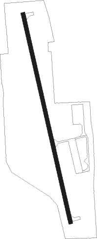
Runway info
| Runway 16 / 34 | ||
| length | 1070m (3510ft) | |
| bearing | 170° / 350° | |
| width | 20m (64ft) | |
| surface | concrete | |
Nearby beacons
| code | identifier | dist | bearing | frequency |
|---|---|---|---|---|
| MAP | MAPLES TACAN | 18 | 35° | 113.40 |
| BHN | BUCKHORN (FORT LEONARD WOOD) NDB | 23 | 340° | 391 |
| TBN | FORNEY (FORT LEONARD WOOD VOR | 26.1 | 338° | 110 |
| HUW | DME | 27.6 | 171° | 111.60 |
| DGD | DOGWOOD VORTAC | 47 | 251° | 109.40 |
| VIH | VICHY (ROLLA/VICHY) VOR/DME | 51.1 | 18° | 117.70 |
| SHY | SUNSHINE (KAISER) VOR/DME | 52.2 | 318° | 108.40 |
Instrument approach procedures
| runway | airway (heading) | route (dist, bearing) |
|---|---|---|
| RW16 | JUXAD (169°) | JUXAD 3400ft |
| RNAV | JUXAD 3400ft ZOLOS (4mi, 170°) 2800ft UDELE (3mi, 170°) 1800ft M48 (2mi, 167°) 1238ft (5499mi, 112°) 1513ft MOXMI (5498mi, 292°) 3100ft MOXMI (turn) | |
| RW34 | MOXMI (350°) | MOXMI 3100ft |
| RW34 | MUPIE (83°) | MUPIE JEMOS (9mi, 108°) 3400ft HAXUR (9mi, 108°) 3100ft MOXMI (4mi, 83°) 3100ft |
| RW34 | ULIJA (323°) | ULIJA MOXMI (4mi, 263°) 3100ft |
| RNAV | MOXMI 3100ft WILOL (4mi, 350°) 2800ft TESAE (3mi, 350°) 1980ft M48 (3mi, 352°) 1206ft (5499mi, 112°) 1509ft JUXAD (5501mi, 292°) 3400ft JUXAD (turn) |
Disclaimer
The information on this website is not for real aviation. Use this data with the X-Plane flight simulator only! Data taken with kind consent from X-Plane 12 source code and data files. Content is subject to change without notice.