Boardman
Airport details
| Country | United States of America |
| State | Oregon |
| Region | K1 |
| Airspace | Seattle Ctr |
| Municipality | Morrow County |
| Elevation | 395ft (120m) |
| Timezone | GMT -8 |
| Coordinates | 45.81482, -119.82050 |
| Magnetic var | |
| Type | land |
| Available since | X-Plane v10.40 |
| ICAO code | M50 |
| IATA code | n/a |
| FAA code | M50 |
Communication
| Boardman CTAF | 122.900 |
Nearby Points of Interest:
Wells Springs Segment
-J. W. Carey House
-St. Peter's Roman Catholic Church
-James H. and Cynthia Koontz House
-Umatilla Masonic Lodge Hall
-Echo Methodist Church
-Bank of Echo Building
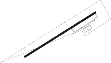
Runway info
| Runway 4 / 22 | ||
| length | 1282m (4206ft) | |
| bearing | 70° / 250° | |
| width | 30m (100ft) | |
| surface | asphalt | |
Nearby beacons
| code | identifier | dist | bearing | frequency |
|---|---|---|---|---|
| PDT | PENDLETON VORTAC | 37.6 | 98° | 114.70 |
| PSC | PASCO VOR/DME | 40 | 57° | 109.80 |
| YKM | YAKIMA VORTAC | 52.2 | 320° | 116 |
Disclaimer
The information on this website is not for real aviation. Use this data with the X-Plane flight simulator only! Data taken with kind consent from X-Plane 12 source code and data files. Content is subject to change without notice.